Seletar
| Seletar | |
|---|---|
| Planning Area and Regional Centre | |
| Other transcription(s) | |
| • Chinese | 实里达 |
| • Pinyin | Shílǐdá |
| • Malay | Seletar |
| • Tamil | சிலேத்தார் |
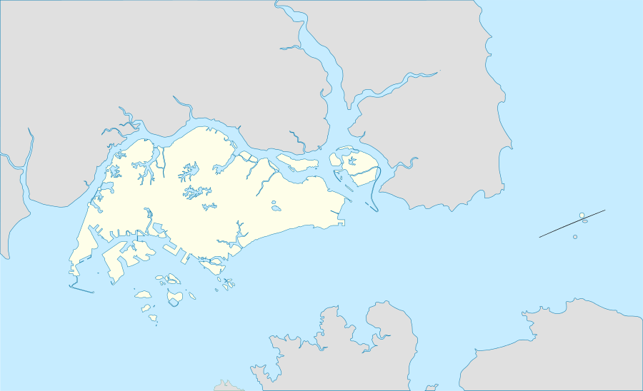 Seletar Location of Seletar within Singapore | |
| Coordinates: SG 1°24′19.2″N 103°51′58.6″E / 1.405333°N 103.866278°E | |
| Country |
|
| Region |
|
| CDC | |
| Town council |
|
| Constituency | |
| Government | |
| • Mayor |
Central Singapore CDC |
| • Members of Parliament |
Ang Mo Kio GRC |
| Area[1] | |
| • Total | 10.25 km2 (3.96 sq mi) |
| • Residential | 7.23 km2 (2.79 sq mi) |
| Population (2015)[1] | |
| • Total | 280 |
| • Density | 27/km2 (71/sq mi) |
| Demonym(s) |
Official
|
| Postal district | 28 |
Seletar is an area located in the north-east of Singapore. Its name can also refer to the Seletar Planning Area (as defined by the Urban Redevelopment Authority), situated in the North-East Region of Singapore. It shares boundaries with the planning areas of Sengkang to the south, Punggol to the east, Yishun and Simpang to the west, as well as the Straits of Johor to the north.
Formerly a Royal Air Force military airbase site, the area now houses a new S$60 million Seletar Aerospace Park that spans 140 hectares. The aerospace park is expected to be completed in 2018 and will house industries specialising in aircraft maintenance and repair services.[2][3] There are future plans to transform Seletar into one of the Singapore's regional centres, along with Jurong East, Tampines and Woodlands.
Etymology
Seletar is probably one of the older local place names. The Malay word seletar refers to the aboriginal coastal dwellers (orang Seletar River (which has since been dammed up to form the Lower Seletar Reservoir), hence the river's name. Later, Sultan Abu Bakar of Johor is said to have taken these people from Seletar to Sungai Pulai in southwest Johor.
Geography
Geographical extent
According to the book, "Down the Seletar River: Discovering a Hidden Treasure of Singapore", Seletar generally refers to a region defined by the Ponggol River to the east, the Seletar River to the west, Ang Mo Kio to the south and the Straits of Johore to the north. It includes the areas covering Yio Chu Kang, Jalan Kayu, Lower Seletar Reservoir and a part of Upper Thomson.[4]
Seletar Planning Area
Seletar Planning Area, as defined by the Urban Redevelopment Authority, shares a land boundary with planning areas of Sengkang to the south, riverine boundaries with Punggol to the east and Yishun to the west. Its northern boundary is made up by the Straits of Johor.[5][6] Seletar Planning Area is officially divided into 4 subzones – Seletar, Seletar Aerospace Park, Pulau Punggol Barat and Pulau Punggol Timor.
History
Seletar was originally a rubber plantation estate owned and managed by the Singapore United Rubber Plantations Ltd. In 1923, the Straits Settlement government bought 600 acres (2.4 km2) from the Singapore United Rubber Plantations Ltd and gave it to the British Royal Air Force as a site for its military air base in Singapore.[7] Construction of the airbase was completed in 1929 and it was officially opened in 1930. The airbase was the first RAF base east of India and had also served as a civilian airport until 1937, when Kallang Airport was opened to the public.[8]
The Seletar Reservoir (now known as Upper Seletar Reservoir), was first built in 1920, after the First World War to cope with the water demand in Singapore. It was marked as a conservation site in August 1999.[9]
The area is also dotted with colonial bungalows that were built for the military personnel of the RAF, which still stands today. In 2007, the government announced that some 174 bungalows has been set aside for demolition to make way for the new Seletar Aerospace Park, while the remaining 204 bungalows will be retained and some of these units will be converted into aerospace training schools and food and beverage outlets, while 131 units will be set aside for residential use.[10]
See also
References
- 1 2 City Population - statistics, maps and charts | Seletar
- ↑ Karamjit Kaur (19 June 2007). "Plans for $60m Seletar Aerospace Park on course". The Straits Times.
- ↑ Karamjit Kaur (27 June 2007). "Seletar gets ready for makeover as aerospace hub". The Straits Times.
- ↑ Wijeysingha, Eugene (2013-01-01). Down the Seletar River: Discovering a Hidden Treasure of Singapore. Seletar Hills Estate Residents' Assoc. ISBN 9789710579204.
- ↑ "URA SPACE". Urban Redevelopment Authority.
- ↑ "Planning Areas/Subzones in Singapore (Year 2015)" (PDF). Singapore Department of Statistics.
- ↑ "Conservation Portal - History of Seletar". URA Singapore. Retrieved August 14, 2016.
- ↑ "Seletar Airport". Infopedia Singapore (National Library Board). Retrieved August 14, 2016.
- ↑ "Seletar Reservoir". Infopedia Singapore (National Library Board). Retrieved August 14, 2016.
- ↑ "The Colonial Bungalows of Seletar". The Lion Raw. February 14, 2014. Retrieved August 14, 2016.
Sources
- Victor R Savage, Brenda S A Yeoh (2003), Toponymics - A Study of Singapore Street Names, Eastern Universities Press, ISBN 981-210-205-1