Selatrað
| Selatrað | |
|---|---|
| Village | |
|
Harbour of Selatrað, Eysturoy | |
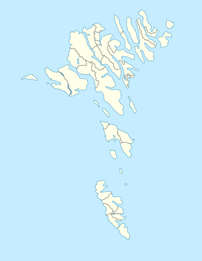 Selatrað Location in the Faroe Islands | |
| Coordinates: 62°9′31″N 6°52′41″W / 62.15861°N 6.87806°WCoordinates: 62°9′31″N 6°52′41″W / 62.15861°N 6.87806°W | |
| State |
|
| Constituent country |
|
| Island | Eysturoy |
| Municipality | Sjóvar Municipality |
| Population (2010) | |
| • Total | 38 |
| Time zone | GMT |
| • Summer (DST) | EST (UTC+1) |
| Postal code | FO 497 |
| Climate | Cfc |
.JPG)
Selatrað (Danish: Selletræ) is a village on the west coast of the Faroese island Eysturoy in Sjóvar Municipality. The name Selatrað refers to a breeding place for seals.[1]
The 2010 population was 38.[2] Its postal code is FO 497. The village's church, the first in the archipelago made from concrete, was built in 1927. The third biggest plantation in the Faroe Islands is in Selatrað. It was severely damaged in a hurricane in 1988, destroying 2/3 of it. However the biggest trees (20m in height) survived.
Selatrað was once the parliamentary meeting place for the whole of Eysturoy.[1]
References
- 1 2 Brandt, Don (2006). More Stamps and Story of the Faroe Islands (pdf). 1. Tórshavn: Postverk Føroya. p. 37. ISBN 99918-3-191-6. Retrieved 2008-09-04.
- ↑ "Sjóvar Kommuna". Retrieved 3 April 2011.
External links
See also
| Wikimedia Commons has media related to Selatrað. |
This article is issued from Wikipedia - version of the 6/15/2016. The text is available under the Creative Commons Attribution/Share Alike but additional terms may apply for the media files.