Seagry

Coordinates: 51°31′23″N 2°04′48″W / 51.523°N 2.080°W
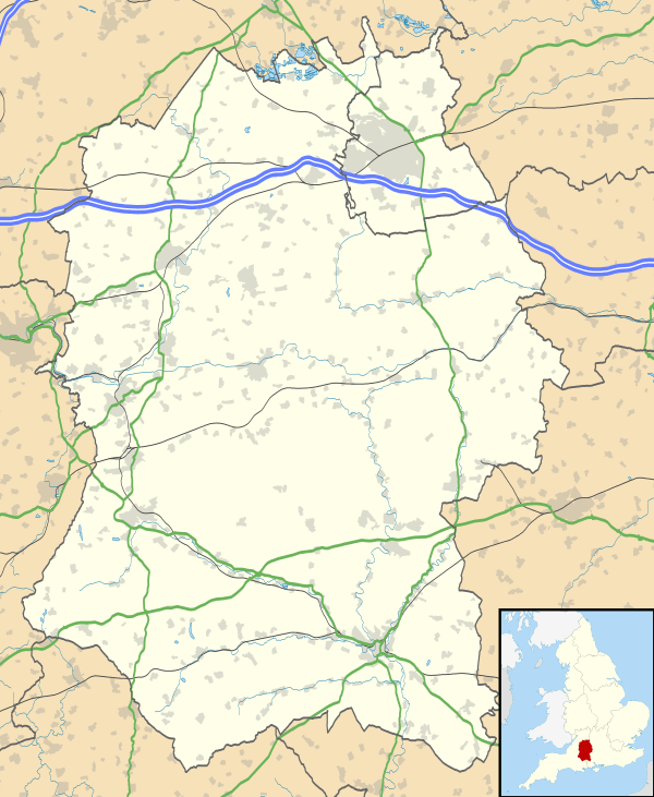
Seagry is a civil parish in Wiltshire, England, about 4.5 miles (7.2 km) southeast of Malmesbury and 5.5 miles (8.9 km) northeast of Chippenham. Its main settlements are the village of Upper Seagry (first documented in 1317 as 'Over Seagry') and the hamlet of Lower Seagry (first documented in 1218 as 'Nether Seagry').
The toponym is thought to derive from the Old English for "sedge stream",[2] possibly referring to the River Avon which flows through the area.
History
There is evidence that the area was settled in the Upper Paleolithic period, and also of Saxon occupation.[3] The Domesday Book of 1086 records two manors, that of Durand of Gloucester Segrete, and that of Dru Fitz Ponz, Segrie.
Segrete became part of the estates of the Earl of Hereford, and later passed into the ownership of Bradenstoke Abbey until the Dissolution of the Monasteries.[3] A grange farm at Lower Seagry was associated with the Abbey.[4]
Upper Seagry
The village is on a minor road between Malmesbury and Sutton Benger at grid reference ST 947 807. It has a modern village hall, run jointly with Great Somerford and Startley,[5][6] and Seagry CofE (VC) Primary School.[7] The school was founded in 1966 and has about 40 pupils. In 2008 the school federated (a process whereby two or more schools choose to share resources, in this case a shared headteacher and governing body) with Somerfords' Walter Powell CofE (VA) school in Great Somerford.[8]
Lower Seagry
The hamlet is east of Upper Seagry at grid reference ST 958 810, towards Great Somerford.
Local government
The civil parish elects a parish council. It is in the area of Wiltshire Council unitary authority, which is responsible for all significant local government functions.
The present parish was formed in 1971. The ancient parish was added to Sutton Benger parish in 1934, then in 1971 the newly built M4 motorway became the boundary between the parishes of Sutton Benger and Seagry.[9]
Churches
The Church of England parish church of St Mary the Virgin at Lower Seagry was founded in 1172 by Walter de Clifford, a descendant of the Fitz Ponz family. Clifford is buried in the church.[3] It was rebuilt in 1849.[10]
A Primitive Methodist chapel was built at Upper Seagry in 1825.[11] It fell into disuse around 2010[12] and was sold for residential use.
See also
- The hamlet of Seagry Heath is in Great Somerford parish.
References
- ↑ "Parish population 2011". Office for National Statistics. Retrieved 13 March 2015.
- ↑ The word "sedge" refers to several types of plants associated with watery land, and it is unclear which is meant here.
- 1 2 3 "Wiltshire Community History - Seagry". Wiltshire Council. Retrieved 13 April 2015.
- ↑ Historic England. "Tithe Barn at Church Farm, Lower Seagry (1363816)". National Heritage List for England. Retrieved 13 April 2015.
- ↑ Singleton-Hoare, Fuchsia (8 June 2013). "Seal of approval for Seagry's £600k hall". The Wiltshire Gazette and Herald ». Retrieved 13 April 2015.
- ↑ "Goss Croft Hall". Retrieved 13 April 2015.
- ↑ "Seagry Church of England Primary School". Retrieved 13 April 2015.
- ↑ "Wiltshire Community History - Great Somerford". Wiltshire Council. Retrieved 13 April 2015.
- ↑ "Victoria County History - Wiltshire - Vol 14 pp186-194 - Parishes: Seagry". British History Online. University of London. Retrieved 13 April 2015.
- ↑ "Church of St. Mary, Seagry". Wiltshire Community History. Wiltshire Council. Retrieved 13 April 2015.
- ↑ "Primitive Methodist Chapel, Seagry". Wiltshire Community History. Wiltshire Council. Retrieved 13 April 2015.
- ↑ "Public Notice by the Registrar General" (PDF). The Swindon Advertiser. June 2010. Retrieved 13 April 2015.

External links
![]() Media related to Seagry at Wikimedia Commons
Media related to Seagry at Wikimedia Commons