Santa-Maria-Figaniella
| Santa-Maria-Figaniella | |
|---|---|
|
The church of Santa-Maria-Figaniella | |
 Santa-Maria-Figaniella | |
|
Location within Corsica region 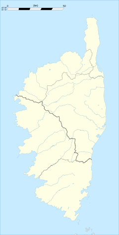 Santa-Maria-Figaniella | |
| Coordinates: 41°42′29″N 9°00′20″E / 41.7081°N 9.0056°ECoordinates: 41°42′29″N 9°00′20″E / 41.7081°N 9.0056°E | |
| Country | France |
| Region | Corsica |
| Department | Corse-du-Sud |
| Arrondissement | Sartène |
| Canton | Olmeto |
| Intercommunality | Sartenais - Valinco |
| Government | |
| • Mayor (2008–2014) | Jean Ollandini |
| Area1 | 13.09 km2 (5.05 sq mi) |
| Population (2008)2 | 82 |
| • Density | 6.3/km2 (16/sq mi) |
| Time zone | CET (UTC+1) |
| • Summer (DST) | CEST (UTC+2) |
| INSEE/Postal code | 2A310 / 20143 |
| Elevation |
99–1,005 m (325–3,297 ft) (avg. 452 m or 1,483 ft) |
|
1 French Land Register data, which excludes lakes, ponds, glaciers > 1 km² (0.386 sq mi or 247 acres) and river estuaries. 2 Population without double counting: residents of multiple communes (e.g., students and military personnel) only counted once. | |
.jpg)
Santa-Maria-Figaniella is a commune in the Corse-du-Sud department of France on the island of Corsica.
Population
| Historical population | ||
|---|---|---|
| Year | Pop. | ±% |
| 1962 | 125 | — |
| 1968 | 110 | −12.0% |
| 1975 | 89 | −19.1% |
| 1982 | 70 | −21.3% |
| 1990 | 58 | −17.1% |
| 1999 | 72 | +24.1% |
| 2008 | 82 | +13.9% |
See also
References
| Wikimedia Commons has media related to Santa-Maria-Figaniella. |
This article is issued from Wikipedia - version of the 1/28/2015. The text is available under the Creative Commons Attribution/Share Alike but additional terms may apply for the media files.