Sainte Marie Airport
| Sainte Marie Airport | |||||||||||
|---|---|---|---|---|---|---|---|---|---|---|---|
| IATA: SMS – ICAO: FMMS | |||||||||||
| Summary | |||||||||||
| Airport type | Public | ||||||||||
| Serves | Sainte Marie, Analanjirofo, Madagascar | ||||||||||
| Elevation AMSL | 7 ft / 2 m | ||||||||||
| Coordinates | 17°05′38″S 049°48′57″E / 17.09389°S 49.81583°E | ||||||||||
| Map | |||||||||||
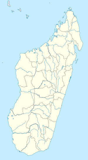 SMS Location of Airport in Madagascar | |||||||||||
| Runways | |||||||||||
| |||||||||||
Sainte Marie Airport (IATA: SMS, ICAO: FMMS) is an airport serving Sainte Marie, an island in the Analanjirofo Region of Madagascar.
Airlines and destinations
| Airlines | Destinations |
|---|---|
| Air Madagascar | Antananarivo, Tamatave, Saint-Denis de la Reunion |
References
- ↑ Airport information for SMS / FMMS - Sainte Marie, Madagascar at Great Circle Mapper. Source: DAFIF (effective October 2006).
External links
- Accident history for SMS / FMMS - Sainte Marie Airport, Madagascar at Aviation Safety Network
- Current weather for FMMS - Sainte-Marie Aerodrome at NOAA/NWS
This article is issued from Wikipedia - version of the 11/27/2016. The text is available under the Creative Commons Attribution/Share Alike but additional terms may apply for the media files.