Saint-Joseph-de-Sorel, Quebec
| Saint-Joseph-de-Sorel | |
|---|---|
| City | |
 Location within Pierre-De Saurel RCM. | |
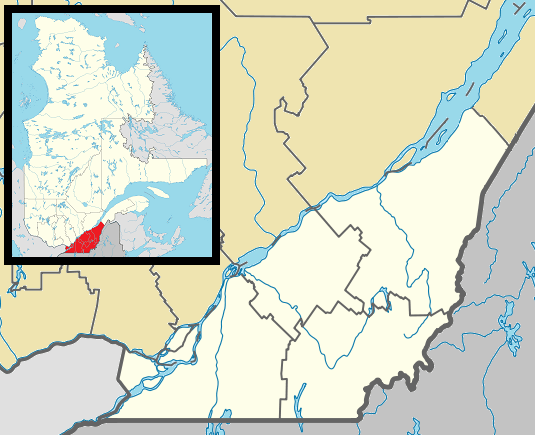 Saint-Joseph-de-Sorel Location in southern Quebec. | |
| Coordinates: 46°02′N 73°07′W / 46.033°N 73.117°WCoordinates: 46°02′N 73°07′W / 46.033°N 73.117°W[1] | |
| Country |
|
| Province |
|
| Region | Montérégie |
| RCM | Pierre-De Saurel |
| Constituted | May 1, 1907 |
| Government[2][3] | |
| • Mayor | Olivar Gravel |
| • Federal riding | Bécancour—Nicolet—Saurel |
| • Prov. riding | Richelieu |
| Area[2][4] | |
| • Total | 3.40 km2 (1.31 sq mi) |
| • Land | 1.38 km2 (0.53 sq mi) |
| Population (2011)[4] | |
| • Total | 1,677 |
| • Density | 1,216.8/km2 (3,151/sq mi) |
| • Pop 2006-2011 |
|
| • Dwellings | 941 |
| Time zone | EST (UTC−5) |
| • Summer (DST) | EDT (UTC−4) |
| Postal code(s) | J3R |
| Area code(s) | 450 and 579 |
| Highways |
|
| Website |
www |
Saint-Joseph-de-Sorel is a town in the Regional county municipality of Pierre-De Saurel, in Montérégie, Quebec. It is located north of the Tracy section of Sorel-Tracy. Champlain Street marks the town's southern limit from Sorel-Tracy, and the rest of the town is surrounded by water (either Saint Lawrence River or Richelieu River).
As it is the case with neighboring municipalities, metallurgy plays a significant role in the town's economy. The Sorel-Tracy based QIT et Titane has a facility which occupies the western part of the town, while the eastern part of the town is essentially home to the Les Forges de Sorel company. This leaves the central part as the only portion of the town that is fully residential.
The population of Saint-Joseph-de-Sorel was 1,677 as of the Canada 2011 Census.
Demographics
PopulationPopulation trend:[5]
|
LanguageMother tongue language (2006)[6]
|
See also
References
- ↑ Reference number 57005 of the Commission de toponymie du Québec (French)
- 1 2 Ministère des Affaires municipales, des Régions et de l'Occupation du territoire: Saint-Joseph-de-Sorel
- ↑ Parliament of Canada Federal Riding History: BAS-RICHELIEU--NICOLET--BÉCANCOUR (Quebec)
- 1 2 2011 Statistics Canada Census Profile: Saint-Joseph-de-Sorel, Quebec
- ↑ Statistics Canada: 1996, 2001, 2006, 2011 census
- ↑ 2006 Statistics Canada Community Profile: Saint-Joseph-de-Sorel, Quebec
 |
Saint Lawrence River / Saint-Ignace-de-Loyola | | ||
| Saint Lawrence River / Sainte-Geneviève-de-Berthier | |
Richelieu River / Sorel-Tracy | ||
| ||||
| | ||||
| Sorel-Tracy |
| Cities | |
|---|---|
| Municipalities | |
| Parishes | |
| Villages | |
| |