Washington State Route 6
| ||||
|---|---|---|---|---|
|
SR 6 is highlighted in red. | ||||
| Route information | ||||
| Defined by RCW 47.17.025 | ||||
| Maintained by WSDOT | ||||
| Length: | 51.37 mi[1] (82.67 km) | |||
| Existed: | 1964[2] – present | |||
| Major junctions | ||||
| West end: |
| |||
| East end: |
| |||
| Location | ||||
| Counties: | Pacific, Lewis | |||
| Highway system | ||||
| ||||


State Route 6 (SR 6) is a 51.37-mile (82.67 km) long state highway in Pacific and Lewis counties in the U.S. state of Washington. The highway, which extends from U.S. Route 101 (US 101) in Raymond east to Interstate 5 (I-5), co-signed with US 12 in Chehalis. Major communities located on the highway include Raymond, Pe Ell, Adna and Chehalis. The first state highway that used the current route of SR 6 was State Road 19, established in 1913. State Road 19 became State Road 12 in 1923, which became Primary State Highway 12 (PSH 12) in 1937. In 1964, PSH 12 became SR 6 and since, three minor construction projects have been arranged, only two have been completed.
Route description
State Route 6 (SR 6) begins at an intersection with U.S. Route 101 (US 101) in Downtown Raymond as Henkle Street.[1] Paralleling the basic route of the Willapa River, the highway turns southeast to leave Raymond and become unnamed.[1] Continuing past Menlo, the roadway realigns directly south to Holcomb before curving back eastward to Lebam and Frances to exit Pacific County and enter Lewis County. Once in Lewis County, the Willapa River ends in the Willapa Hills, while the road turns northeast and later east into Pe Ell. In Pe Ell, SR 6 is named 4th Avenue and crosses the Chehalis River, while the highway is once again unnamed at the Main Street intersection.[1] At the Main Street intersection, the roadway is realigned north to Doty and east to Dryad and Rainbow Falls State Park, where the road goes south and curves northeast to Adna. In Adna, SR 6 starts to parallel a railroad owned by the Port of Chehalis and operated by the Puget Sound and Pacific Railroad and then the highway crosses the Chehalis River again.[3][4] The road leaves the community and Littell to intersects Co Road, which had been SR 603 before 1991.[5] After crossing the Chehalis River for the final time into Chehalis, the roadway ends at a diamond interchange with Interstate 5 (I-5), co-signed as US 12.[6][7][8] The busiest segment of SR 6 in 2007 was the I-5 / US 12 interchange in Chehalis, with an estimated daily average of 13,000 motorists.[9] In 1970, the busiest segment was the US 101 intersection in Raymond, with an estimated daily average of 4,800 motorists.[10]
History
The first state highway to extend along the route of SR 6 was State Road 19, which was designated in 1913.[11] During a 1923 renumbering of the state road system, State Road 19 became State Road 12, which ran from Megler north to Raymond and east to Chehalis.[12] Primary State Highway 12 (PSH 12) replaced State Road 12 when the Primary state highways were created in 1937; PSH 12 didn't begin in Megler, but began in Kelso.[13] Between Raymond and Chehalis, PSH 12 was paralleled by numerous railroads that have changed over time. In 1951, the Northern Pacific Railway followed the route from Raymond to Chehalis,[14] but by 1958, the Pe Ell Prairie Railroad replaced Northern Pacific from Pe Ell to Dryad and the Chehalis Western Railroad, now the Chehalis Western Trail,[15] replaced Northern Pacific between Adna and Chehalis.[16] In 1968, the Chehalis Western Railroad no longer operated in the Adna area and the last railroad to parallel current SR 6 was the Puget Sound and Pacific Railroad,[3] which runs from Adna to Chehalis.[4][17] During the 1964 highway renumbering, PSH 12 was split into U.S. Route 830 (US 830), US 101 and SR 6.[2][18] The only other highway to intersect SR 6 was SR 603, the only auxiliary route of the highway, which was established in 1964 and decommissioned in 1991.[5][18]

The Washington State Department of Transportation (WSDOT) has since arranged small construction projects to improve the roadway. After the Great Coastal Gale of 2007, the road southwest of Pe Ell was filled with debris near an unstable slope.[19][20] WSDOT later closed the highway between Elk Prairie Road and Meyer Road on December 17, 2007 and started to reopen SR 6 during daylight hours on December 29.[21][22] On January 28, 2008, repair work began on the slope and on February 4, the road was opened for 12 daylight hours.[23][24] Nighttime closures were lifted starting February 13 and the roadway was fully reopened on March 16.[25][26] During the stabilization of the slope near Pe Ell, construction started on February 19 on another slope located near Frances that was finished in late April.[27] A bridge built in 1925 over the South Fork of the Chehalis River west of Chehalis is currently being replaced with a newer structure and construction started on August 25, 2008.[28][29][30] Closures began on January 5, 2009 and girders were placed on March5 .[31][32] The construction is scheduled to end by fall 2009.[28]
Major intersections
| County | Location | mi[1] | km | Destinations | Notes |
|---|---|---|---|---|---|
| Pacific | Raymond | 0.00 | 0.00 | Western terminus. | |
| Lewis | | 49.08 | 78.99 | Co Road – Napavine, Winlock | Former SR 603. |
| Chehalis | 51.37 | 82.67 | I-5 exit 77; eastern terminus. | ||
| 1.000 mi = 1.609 km; 1.000 km = 0.621 mi | |||||
References
- 1 2 3 4 5 Washington State Department of Transportation (2006). "State Highway Log: Planning Report, SR 2 to SR 971" (PDF). Retrieved July 15, 2009.
- 1 2 Washington State Legislature (1970). "RCW 47.17.025: State route No. 6". Retrieved July 15, 2009.
- 1 2 Puget Sound and Pacific Railroad. Puget Sound & Pacific Railroad (PDF) (Map). RailAmerica. Retrieved July 15, 2009.
- 1 2 Washington State Railroad System (PDF) (Map). Cartography by United States Geological Survey. Washington State Department of Transportation. 2008. Retrieved July 15, 2009.
- 1 2 Washington House of Representatives (1991). "Chapter 342, Laws of 1991: State Highway Routes – Revisons To (House Bill 5801)". Washington State Legislature. Retrieved July 15, 2009.
- ↑ Washington State Department of Transportation (August 3, 1992). "SR 5 – Exit 77; Junction SR 6 / Main Street" (PDF). Retrieved July 15, 2009.
- ↑ Google (July 15, 2009). "State Route 6" (Map). Google Maps. Google. Retrieved July 15, 2009.
- ↑ Washington State Highways, 2008–09 (PDF) (Map) (2008–2009 ed.). 1:842,000. Cartography by United States Geological Survey. Washington State Department of Transportation. 2008. Retrieved July 15, 2009.
- ↑ Washington State Department of Transportation (2007). "2007 Annual Traffic Report" (PDF). Retrieved July 15, 2009.
- ↑ Washington State Highway Commission, Department of Highways (1970). "Annual Traffic Report, 1970" (PDF). Washington State Department of Transportation. pp. 52–54. Retrieved July 15, 2009.
- ↑ State Roads Established By Legislature of 1913 (PDF) (Map). Washington State Department of Transportation. 1913. p. 9. Archived from the original (PDF) on November 6, 2005. Retrieved July 15, 2009.
- ↑ Washington State Legislature (March 19, 1923). "Chapter 185: Primary and Secondary State Highways". Session Laws of the State of Washington. Session Laws of the State of Washington (1923 ed.). Olympia, Washington: Washington State Legislature. p. 630. Retrieved July 15, 2009.
SEC. 11. A primary state highway, to be known as State Road No. 12 or the Ocean Beach Highway, is established as follows: Beginning at Chehalis in Lewis County; thence by the most feasible route in a westerly direction to South Bend; thence in a southerly direction to the Astoria ferry landing in Pacific County.
- ↑ Washington State Legislature (March 17, 1937). "Chapter 190: Establishment of Primary State Highways". Session Laws of the State of Washington. Session Laws of the State of Washington (1937 ed.). Olympia, Washington: Washington State Legislature. p. 939. Retrieved July 15, 2009.
SEC. 12. A primary state highway to be known as Primary State Highway No. 12, or the Ocean Beach Highway, is hereby established according to description as follows: Beginning at Chehalis on Primary State Highway No. 1, thence in a westerly direction by the most feasible route by way of Raymond to South Bend, thence southerly by the most feasible route to the vicinity of a location known as Johnson's Landing, thence southeasterly by the most feasible route by way of Kelso to Primary State Highway No. 1.
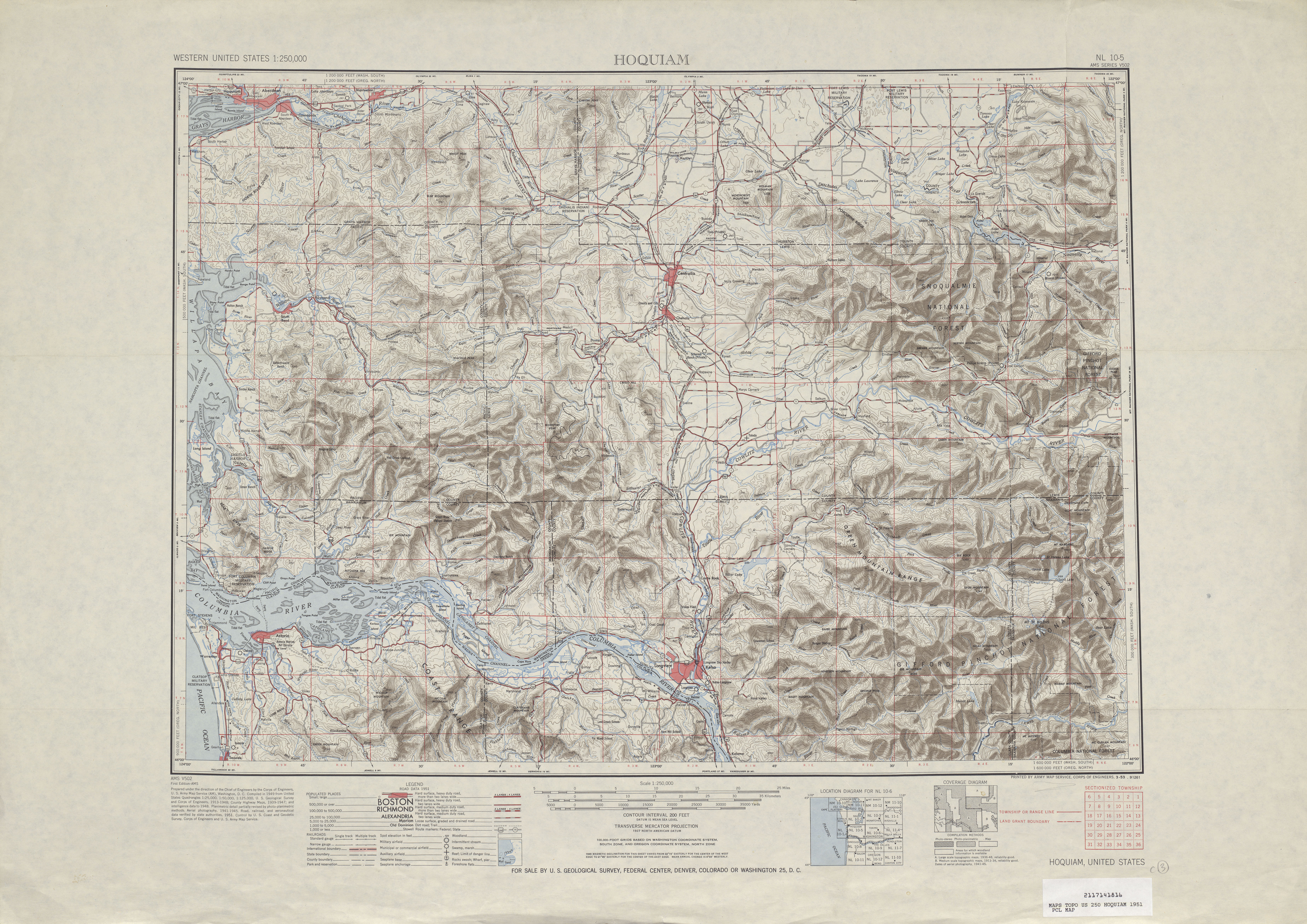
- ↑ Hoquiam, 1951 (Map). 1:250,000. Cartography by United States Geological Survey. University of Texas at Austin. 1951. Retrieved July 15, 2009.
- ↑ Thurston County Parks and Recreation. "Chehalis Western Trail". Retrieved July 15, 2009.
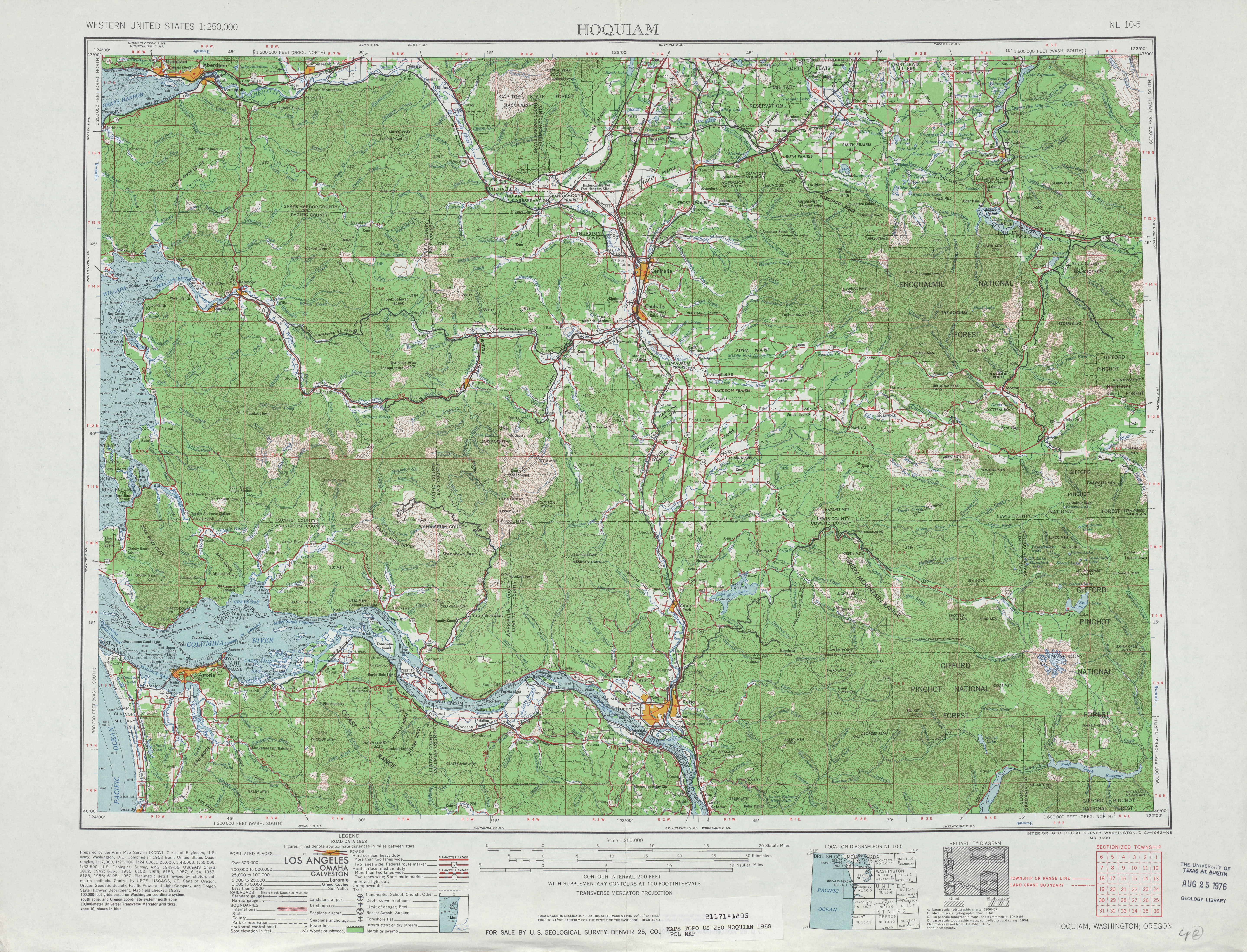
- ↑ Hoquiam, 1958 (Map). 1:250,000. Cartography by United States Geological Survey. University of Texas at Austin. 1958. Retrieved July 15, 2009.
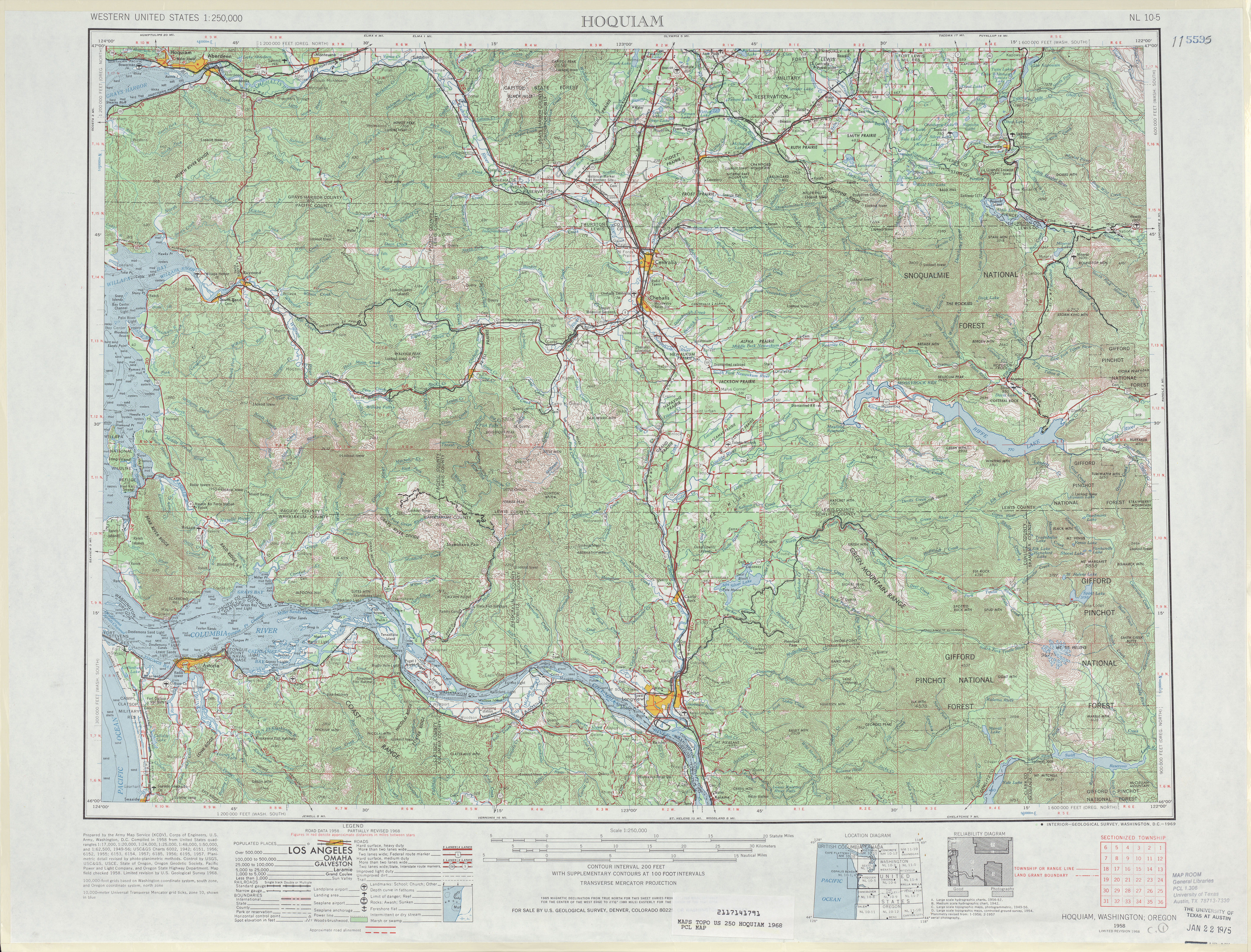
- ↑ Hoquiam, 1968 (Map). 1:250,000. Cartography by United States Geological Survey. University of Texas at Austin. 1968. Retrieved July 15, 2009.
- 1 2 C. G. Prahl; Washington State Highway Commission, Department of Highways (December 1, 1965). "Identification of State Highways" (PDF). Washington State Department of Transportation. Retrieved July 15, 2009.
- ↑ Washington State Department of Transportation (2008). "SR 6 – Milepost 27 – Slope Stabilization – Complete March 2008". Retrieved July 19, 2009.
- ↑ SR 6 – Milepost 27 – Slope Stabilization (Map). Washington State Department of Transportation. 2008. Retrieved July 19, 2009.
- ↑ "Weather Conditions and Unstable Slope Prolong Closure of SR 6" (Press release). Washington State Department of Transportation. December 19, 2007. Retrieved July 19, 2009.
- ↑ "WSDOT to Reopen SR 6 during Daylight Hours, on Limited Basis" (Press release). Washington State Department of Transportation. December 27, 2007. Retrieved July 19, 2009.
- ↑ "WSDOT to Begin Repair Work on SR 6 West of Pe Ell Next Week" (Press release). Washington State Department of Transportation. January 25, 2008. Retrieved July 19, 2009.
- ↑ "SR 6 Closure Hours Shorten as Daylight Extends" (Press release). Washington State Department of Transportation. February 4, 2008. Retrieved July 19, 2009.
- ↑ "Progress on SR 6 Allows WSDOT to Lift Nighttime Closures Starting Feb 13" (Press release). Washington State Department of Transportation. February 12, 2008. Retrieved July 19, 2009.
- ↑ "SR 6 near Pe Ell Reopens Fully as Crews Complete Repairs, March 16" (Press release). Washington State Department of Transportation. March 13, 2008. Retrieved July 19, 2009.
- ↑ "Crews Begin Repair Work on SR 6 near Elk Prairie (milepost 20.60) Early Next Week" (Press release). Washington State Department of Transportation. February 15, 2008. Retrieved July 19, 2009.
- 1 2 Washington State Department of Transportation (2008). "SR 6 – South Fork Chehalis River Bridge Replacement". Retrieved July 19, 2009.
- ↑ SR 6 – South Fork Chehalis River Bridge Replacement (Map). Cartography by Tele Atlas. Washington State Department of Transportation. 2005. Retrieved July 19, 2009.
- ↑ "Construction on South Fork Chehalis River Bridge Replacement to begin Aug. 25" (Press release). Washington State Department of Transportation. August 19, 2008. Retrieved July 19, 2009.
- ↑ "Single lane closures on SR 6 begin Monday, January 5" (Press release). Washington State Department of Transportation. December 31, 2008. Retrieved July 19, 2009.
- ↑ "Crews finish placing girders on new SR 6 bridge Thursday, Mar. 5" (Press release). Washington State Department of Transportation. March 3, 2009. Retrieved July 19, 2009.