Sør-Hidle
 The tropical garden at Flor og Fjære | |
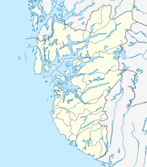 Hidle Sør-Hidle Location in Rogaland county | |
| Geography | |
|---|---|
| Location | Rogaland, Norway |
| Coordinates | 59°02′41″N 5°49′30″E / 59.0447°N 5.8250°ECoordinates: 59°02′41″N 5°49′30″E / 59.0447°N 5.8250°E |
| Area | 1.4 km2 (0.54 sq mi) |
| Highest elevation | 81 m (266 ft) |
| Highest point | Kråkeberg |
| Administration | |
| County | Rogaland |
| Municipality | Strand |
Hidle or Sør-Hidle is an island in Strand municipality in Rogaland county, Norway. The 1.4-square-kilometre (0.54 sq mi) island lies at the southeastern edge of a large archipelago of islands located between the Boknafjorden and the mouth of the Høgsfjorden, just to the northeast of city of Stavanger. The village of Tau lies about 5 kilometres (3.1 mi) east of the island. The island of Åmøy lies a short distance to the west of Hidle and the island of Heng lies a short distance to the southeast.[1]
The highest point on the island is the 81-metre (266 ft) tall Kråkeberget. The new Ryfast Tunnel is being constructed under the fjord that surrounds the island, and the tunnel itself will run under the southern part of the island. Due to the length of the tunnel, a large ventilation shaft will be constructed from the tunnel up to the island to provide fresh air inside the tunnel.
Attractions
- Flor og Fjære, a collection of man-made tropical gardens, is located on the island of Hidle.[2]
- Hidle has hosted one of the rounds of the Norway Chess tournament each year from 2013 through 2015.[3]
See also
References
- ↑ Godal, Anne Marit (ed.). "Sør-Hidle". Store norske leksikon (in Norwegian). Norsk nettleksikon. Retrieved 12 May 2013.
- ↑ "Rødne + Flor & Fjære = Sant". Boarding.no. Retrieved 18 December 2015.
- ↑ "Happy landing for MVL in Norway Chess blitz as Magnus Carlsen falters". The Telegraph. 17 June 2015. Retrieved 18 December 2015.