Round Top
For other uses, see Round Top (disambiguation).
| Round Top | |
|---|---|
 Round Top  Round Top | |
| Highest point | |
| Elevation | 1,764 ft (538 m) NAVD 88[1] |
| Coordinates | 37°51′00″N 122°11′34″W / 37.850084094°N 122.192822678°WCoordinates: 37°51′00″N 122°11′34″W / 37.850084094°N 122.192822678°W [1] |
| Geography | |
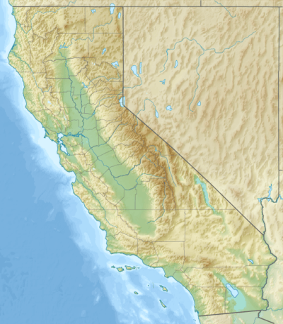
| Location | Contra Costa County, California, U.S. |
| Parent range | Diablo Range |
| Topo map | USGS Oakland East |
Round Top is an extinct volcano in the Berkeley Hills, just east of Oakland, California. The peak lies entirely within the bounds of Contra Costa County. In 1936, the area surrounding the peak was established as Round Top Regional Park, one of the first three parks of the East Bay Regional Parks District. The park was renamed Sibley Volcanic Regional Preserve for the second president of the park district (1948 to 1958), Robert Sibley, shortly after his death in 1958.
See also
References
- 1 2 "Round Top". NGS data sheet. U.S. National Geodetic Survey. Retrieved 2009-08-16.
External links
- "Round Top". Geographic Names Information System. United States Geological Survey. Retrieved 2009-08-16.
- "Sibley Volcanic Regional Preserve". East Bay Regional Parks District. Retrieved 2009-08-16.
- "A Self-guided Tour of Round Top Volcanoes" (PDF). East Bay Regional Parks District. Retrieved 2009-08-16.
- "A Self-guided Tour of Round Top Volcanoes (continued)" (PDF). East Bay Regional Parks District. Retrieved 2009-08-16.
This article is issued from Wikipedia - version of the 8/5/2016. The text is available under the Creative Commons Attribution/Share Alike but additional terms may apply for the media files.