Rosanna, Victoria
| Rosanna Melbourne, Victoria | |||||||||||||
|---|---|---|---|---|---|---|---|---|---|---|---|---|---|
 Shops on Lower Plenty Road | |||||||||||||
 Rosanna | |||||||||||||
| Coordinates | 37°44′13″S 145°04′08″E / 37.737°S 145.069°ECoordinates: 37°44′13″S 145°04′08″E / 37.737°S 145.069°E | ||||||||||||
| Population | 7,697 (2011 census)[1] | ||||||||||||
| • Density | 2,080/km2 (5,390/sq mi) | ||||||||||||
| Postcode(s) | 3084 | ||||||||||||
| Area | 3.7 km2 (1.4 sq mi) | ||||||||||||
| Location | 12 km (7 mi) from Melbourne | ||||||||||||
| LGA(s) | City of Banyule | ||||||||||||
| State electorate(s) | Ivanhoe | ||||||||||||
| Federal Division(s) | Jagajaga | ||||||||||||
| |||||||||||||
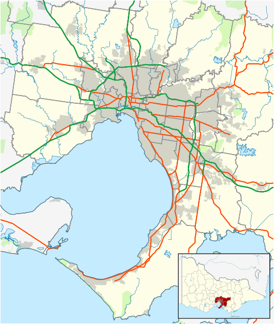
Rosanna is a suburb of Melbourne, Victoria, Australia, 12 km north-east from Melbourne's Central Business District. Its local government area is the City of Banyule. At the 2011 Census, Rosanna had a population of 7,697.
Leafy Rosanna is on the fringe of the Yarra Valley green belt.[2]
History
In 1838 Warringal Village was subdivided into nine portions (ranging in size from one to two square miles), with one of the largest portions, number 5, being purchased in 1840 by settler James Watson. He named the land Rose Anna Farm, after his wife Elizabeth Anna Rose. However, in April 1843 Watson encountered financial difficulties, was charged with fraud and was successfully sued. His company became insolvent and he was subsequently forced to subdivide and sell lots of the farm. Up until the early 1890s, four-fifths of the farm remained as an intact estate. However, in 1901 the Hurstbridge railway line was extended from Heidelberg to run to Rosanna, and in 1902 was further extended through to Eltham. This led to further subdivision and sale of lots.[3][4][5]
The Rosanna Post Office opened on 12 March 1914, closed in 1917 and reopened in 1926.[6]
In The Age's Liveable Melbourne report in 2005, Rosanna was ranked as Melbourne's 150th most liveable of 314 suburbs.[7] The Age repeated the same survey in 2011 and found that the suburb fell in ranking to 177th, with median house prices sitting between $600,000 and $800,000.[8]
Transport
Rosanna's main arterial roads are Lower Plenty Road and Rosanna Road. The suburb is served by the Rosanna railway station on the Hurstbridge railway line.
Education
Rosanna includes the following schools:
- Banyule Primary School – Located on Banyule Road, opened in 1960.[3]
- Rosanna Golf Links Primary School – Located on Interlaken Parade, opened in 1956.[3]
- Rosanna Primary School – Located on Grandview Grove, opened in 1940.[3]
- Viewbank College – Located on Warren Road, created from the merger of Rosanna East High School and Banyule High School in 1994.[9][10]
Recreation
- Athletics – The Rosanna Little Athletics Club, established in 1970, provides athletics activities for local 6 to 16 year olds;[11] the club being part of the Diamond Valley Little Athletics Centre in Greensborough.
- Football – Macleod Football Club competes in the Northern Football League and are based at De Winton Park in the suburb.[12]
- Golf – The Rosanna Golf Club is located on Cleveland Avenue in the neighbouring suburb of Lower Plenty.[13]
Notable residents
- Mark Bresciano – Soccer player.[14]
- Antoinette Halloran – Operatic soprano.[15]
See also
- City of Heidelberg – the former local government area of which Rosanna was a part
References
- ↑ Australian Bureau of Statistics (31 October 2012). "Rosanna (State Suburb)". 2011 Census QuickStats. Retrieved 1 July 2012.
- ↑ "Rosanna, Victoria". Travelmate. Australian Online Travel Pty Ltd. Retrieved 15 June 2010.
- 1 2 3 4 "Rosanna, Victoria". Monash University. November 2004. Archived from the original on 23 August 2005. Retrieved 21 June 2010.
- ↑ "James Watson – Flemington Heritage, Victoria". Flemington Association. November 2004. Retrieved 6 June 2014.
- ↑ "Banyule Heritage Review" (PDF). Banyule City Council. 13 March 2012. Retrieved 6 June 2014.
- ↑ Premier Postal History. "Post Office List". Retrieved 11 April 2008.
- ↑ "Suburban dreaming". www.theage.com.au. The Age. 20 August 2005. Retrieved 21 June 2010.
- ↑ "The list: Melbourne suburbs' liveability ranking revealed". www.theage.com.au. The Age. 24 November 2011. Retrieved 5 June 2014.
- ↑ "Viewbank College Information". Schools in Australia. AA Education Network. Retrieved 21 June 2010.
- ↑ "Viewbank College > History of Viewbank". Viewbank College. Retrieved 8 July 2010.
- ↑ "Rosanna Little Athletics Club". Rosanna Little Athletics Club.
- ↑ Full Points Footy. "Northern Football League". Retrieved 15 September 2009.
- ↑ Golf Select. "Rosanna". Retrieved 11 May 2009.
- ↑ Lynch, Michael (2 May 2004). "Bresciano impresses for club and country". www.theage.com.au. The Age. Retrieved 21 June 2010.
- ↑ Mangan, John (27 September 2009). "Ultimate nausea cure for mothers-to-be: Puccini". www.theage.com.au. The Age. Retrieved 21 June 2010.