Rodman Mountains
| Rodman Mountains | |
|---|---|
 location of Rodman Mountains in California [1] | |
| Highest point | |
| Elevation | 1,323 m (4,341 ft) |
| Geography | |
| Country | United States |
| State | California |
| Region | Mojave Desert |
| District | San Bernardino County |
| Range coordinates | 34°42′00″N 116°38′03″W / 34.7°N 116.6342°WCoordinates: 34°42′00″N 116°38′03″W / 34.7°N 116.6342°W |
| Topo map | USGS Camp Rock Mine |
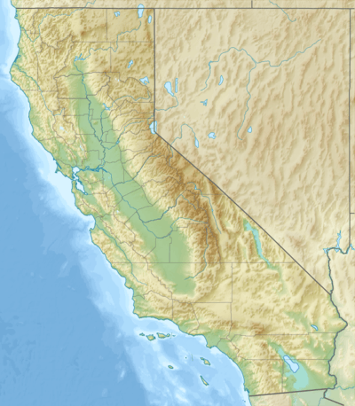
The Rodman Mountains are located in the Mojave Desert, in San Bernardino County, California, United States. The range is located south of Interstate 40 and Newberry Springs, and east of the Ord Mountains and northwest of the Bullion Mountains. They are 30 miles southeast of Barstow, California.
One of the Cinder cones of the Lavic Lake volcanic field are in the range, with the other three including Pisgah Crater beyond to the east.
Rodman Mountains Wilderness Area
The mountains are home to the Bureau of Land Management managed the Rodman Mountains Wilderness Area.[2] A series of ridges and valleys climbing from 2,000 feet to almost 5,000 feet are the result of faults which cross this wilderness. A lava flow slices this area in two from northwest to southeast, forming a sloping mesa.[2]
Colorful escarpments, calico-colored mountains, maze-like canyons and broad, majestic bajadas come together here. Steep canyons and cliff-like walls form dry falls along deep drainage channels, creating cascades during heavy rain storms. More than a half dozen natural water "tanks" sit within the lava flow. Two of the tanks, Hidden Tank and Deep Tank, hold thousands of gallons of water, drawing wildlife.[2]
One of only seven core raptor breeding areas in the Mojave Desert is within this wilderness, where prairie falcons and golden eagles are known to survive. The mountains themselves are part of the historic range of the Desert Bighorn Sheep. While sheep have not been spotted here, this wildlife species has been seen in the nearby Newberry Mountains.[2]
References
- ↑ "Rodman Mountains". Geographic Names Information System. United States Geological Survey. Retrieved 2009-05-04.
- 1 2 3 4 http://www.blm.gov/ca/pa/wilderness/wa/areas/rodman_mountains.html . accessed 7/4/2010 . BLM public domain sourced.
- Allan, Stuart (2005). California Road and Recreation Atlas. Benchmark Maps. p. 105. ISBN 0-929591-80-1.
External links
- Official Rodman Mountains Wilderness Area website
- BLM Rodman Mountains Wilderness Map
- Rodman Mountains Wilderness Area photographs