Rieti Airport
| Rieti Airport Aeroporto di Rieti | |||||||||||||||
|---|---|---|---|---|---|---|---|---|---|---|---|---|---|---|---|
| IATA: none – ICAO: LIQN | |||||||||||||||
| Summary | |||||||||||||||
| Airport type | Public | ||||||||||||||
| Operator | Ministry of Transport | ||||||||||||||
| Serves | Rieti, Italy | ||||||||||||||
| Elevation AMSL | 1,278 ft / 390 m | ||||||||||||||
| Coordinates | 42°25′36″N 12°51′00″E / 42.42667°N 12.85000°ECoordinates: 42°25′36″N 12°51′00″E / 42.42667°N 12.85000°E | ||||||||||||||
| Map | |||||||||||||||
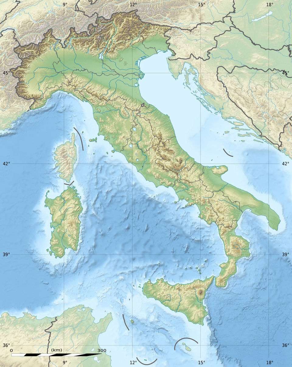 LIQN Location of airport in Italy | |||||||||||||||
| Runways | |||||||||||||||
| |||||||||||||||
Rieti Airport (Italian: Aeroporto di Rieti, ICAO: LIQN) is an aerodrome located 1.34 nautical miles (2.48 km; 1.54 mi) northwest of Rieti,[1] a city in the Lazio region in Italy.[2] It is also known as G. Ciuffelli Airport.
The aerodrome is operated by the Ministry of Transport and Navigation and administered by the Italian Civil Aviation Authority (ENAC) of Rome/Ciampino. The air traffic service (ATS) authority is ENAV S.p.A.[1] Prior to 1997 it was a military airport operated by the Italian Air Force.
Facilities
The airport resides at an elevation of 1,278 feet (390 m) above mean sea level. It has two runways with grass surfaces. The main runway 16R/34L measures 809 by 50 metres (2,654 ft × 164 ft) and is used by aircraft with engines. The secondary runway 16L/34R measures 809 by 40 metres (2,654 ft × 131 ft) and is used by glider aircraft. Operation of ultralight aircraft is restricted to three one-hour time periods each day, during which other air traffic is prohibited.[1]
See also
 Italy portal
 Aviation portal
- List of airports in Italy
References
- 1 2 3 4 AIP for LIQN (RIETI) and chart. AIP Italia. ENAV. 4 October 2012. (free registration required Archived November 15, 2012, at the Wayback Machine.).
- ↑ Airport information for LIQN (Rieti, Lazio, Italy) at Great Circle Mapper.
External links
- Aero Club Rieti
- A Brief History of Rieti Airport (archived by Wayback Machine, translated by Google)
- Aircraft photos from Rieti - G. Ciuffelli (LIQN)
- Aeronautical chart for LIQN at SkyVector
- Current weather for LIQN at NOAA/NWS