Revoir Pass
| Revoir Pass | |
|---|---|
 Location of Revoir Pass | |
| Elevation | 60 m (197 ft)[1] |
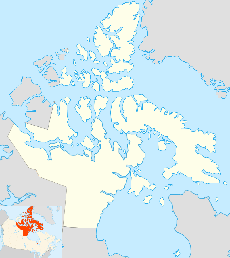
| Location | Baffin Island |
| Range | Baffin Mountains |
| Coordinates | 70°29′3″N 70°44′50″W / 70.48417°N 70.74722°WCoordinates: 70°29′3″N 70°44′50″W / 70.48417°N 70.74722°W |
Revoir Pass is a mountain pass in the central Baffin Mountains, Nunavut, Canada. It is named after the Revoir River.[2]
The Revoir Pass connects the inner reaches of Eglinton Fiord westwards through Ottawa Creek with Swiss Bay in Sam Ford Fiord.[3]
See also
References
- ↑ GoogleEarth
- ↑ Revoir Pass
- ↑ "Eglinton Fiord". Mapcarta. Retrieved 28 April 2016.
This article is issued from Wikipedia - version of the 11/27/2016. The text is available under the Creative Commons Attribution/Share Alike but additional terms may apply for the media files.