Rendalen
| Rendalen kommune | |||
|---|---|---|---|
| Municipality | |||
|
Otnes village and Lomnessjøen | |||
| |||
 Rendalen within Hedmark | |||
| Coordinates: 61°51′34″N 11°10′34″E / 61.85944°N 11.17611°ECoordinates: 61°51′34″N 11°10′34″E / 61.85944°N 11.17611°E | |||
| Country | Norway | ||
| County | Hedmark | ||
| District | Østerdalen | ||
| Administrative centre | Bergset | ||
| Government | |||
| • Mayor (2007) | Norvald Illevold (Ap) | ||
| Area | |||
| • Total | 3,180 km2 (1,230 sq mi) | ||
| • Land | 3,061 km2 (1,182 sq mi) | ||
| Area rank | 11 in Norway | ||
| Population (2004) | |||
| • Total | 2,146 | ||
| • Rank | 332 in Norway | ||
| • Density | 1/km2 (3/sq mi) | ||
| • Change (10 years) | -11.8 % | ||
| Demonym(s) | Rendøl[1] | ||
| Time zone | CET (UTC+1) | ||
| • Summer (DST) | CEST (UTC+2) | ||
| ISO 3166 code | NO-0432 | ||
| Official language form | Bokmål | ||
| Website |
www | ||
|
| |||


Rendalen is a municipality in Hedmark county, Norway. It is part of the traditional region of Østerdalen. The administrative centre of the municipality is the village of Bergset.
General information
Name
The Old Norse form of the name was Reindalr. The first element is the rein old Norsk for reindeer and the last element is dal which means "valley" or "dale". The meaning of the river name is from the valley or vice versa. Renafjellet is one of the other mountains.
Coat-of-arms
The coat-of-arms is from modern times. They were granted on 2 June 1989. The arms show two silver reindeer on a blue background. They symbolize the importance of reindeer farming in the community. The two heads represent the two former municipalities of Øvre Rendal and Ytre Rendal. The arms were designed by the artist Arvid Sveen.[2][3]
History
The municipality of Rendalen was established on 1 January 1838 (see formannskapsdistrikt). Rendalen was divided into two separate municipalities (Ytre Rendal and Øvre Rendal) in 1880 when there was a population of 3,529. The two municipalities were reunited on 1 January 1965 and took the name Rendalen.
Geography
Rendalen is bordered on the northwest by the municipalities of Alvdal and Tynset, in the north by Tolga, in the east by Engerdal, in the south by Trysil and Åmot, and in the west by Stor-Elvdal.
Rendalen municipality encompasses most of the Rendalen valley, a side valley of the Østerdalen. In addition, the municipality encompasses the northern part of Storsjø, a mountainous area in the east of Rendalen and a small part of Østerdalen itself. It also comprises lake Sølensjøen.
The municipality has an area of 3,180 square kilometres (1,227.8 sq mi) which makes it the largest in southern Norway. The highest mountain is Sølen (Midtre) at 1,755 metres (5,758 ft)
Economy
The primary occupations are in farming and logging, but tourism is also important. The Renåfjellet mountain area provides for excellent alpine hiking.
Notable residents
- Kjell Borgen, politician, former Minister of Transport and Communications
- Jacob Breda Bull, writer
- Guren Hagen, musician
International relations
Twin towns – Sister cities
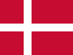 - Aalborg, Region Nordjylland, Denmark[5]
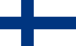 - Liperi, Itä-Suomi, Finland
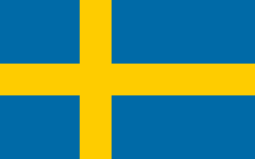 - Orsa, Dalarna County, Sweden
References
- ↑ "Navn på steder og personer: Innbyggjarnamn" (in Norwegian). Språkrådet. Retrieved 2015-12-01.
- ↑ Norske Kommunevåpen (1990). "Nye kommunevåbener i Norden". Retrieved 2008-12-29.
- ↑ "Rendalens Kommunevåpen" (Microsoft Word) (in Norwegian). Rendalen kommune. Retrieved 2008-12-29.
- ↑ "Besøk fra vennskapskommuner" (in Norwegian). Rendalen kommune. Retrieved 2008-12-29.
- ↑ "Aalborg Twin Towns". Europeprize.net. Retrieved 19 August 2013.
External links
| Wikimedia Commons has media related to Rendalen. |
| Look up Rendalen in Wiktionary, the free dictionary. |
- Municipal fact sheet from Statistics Norway
- Municipal website (Norwegian)
