Randaberg (village)
| Randaberg | |
|---|---|
| Village | |
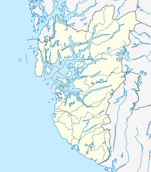 Randaberg  Randaberg Location in Rogaland county | |
| Coordinates: 58°59′58″N 05°37′07″E / 58.99944°N 5.61861°ECoordinates: 58°59′58″N 05°37′07″E / 58.99944°N 5.61861°E | |
| Country | Norway |
| Region | Western Norway |
| County | Rogaland |
| District | Jæren |
| Municipality | Randaberg |
| Elevation[1] | 31 m (102 ft) |
| Time zone | CET (UTC+01:00) |
| • Summer (DST) | CEST (UTC+02:00) |
| Post Code | 4070 Randaberg |
Randaberg is the administrative centre of Randaberg municipality in Rogaland county, Norway. The village is located at the northern end of the Stavanger Peninsula, about 2 kilometres (1.2 mi) west of the village of Grødem and about 7 kilometres (4.3 mi) northwest of the city centre of Stavanger. The European route E39 highway passes just outside of Randaberg to the east. The village is the site of the municipal administration for Randaberg municipality as well as the site of Randaberg Church.
Randaberg Stadion, the main stadium for the Randaberg IL sports club is located in Randaberg village.
References
- ↑ "Randaberg, Randaberg (Rogaland)" (in Norwegian). yr.no. Retrieved 2016-05-09.
This article is issued from Wikipedia - version of the 8/4/2016. The text is available under the Creative Commons Attribution/Share Alike but additional terms may apply for the media files.