RAF Leicester East
| RAF Leicester East | |||||||||||||||||||||||||||
|---|---|---|---|---|---|---|---|---|---|---|---|---|---|---|---|---|---|---|---|---|---|---|---|---|---|---|---|
 | |||||||||||||||||||||||||||
| IATA: none – ICAO: EGBG | |||||||||||||||||||||||||||
| Summary | |||||||||||||||||||||||||||
| Airport type | Royal Air Force station | ||||||||||||||||||||||||||
| Owner | Air Ministry | ||||||||||||||||||||||||||
| Operator | Royal Air Force | ||||||||||||||||||||||||||
| Location | Stoughton, Leicestershire | ||||||||||||||||||||||||||
| Built | 1942 | ||||||||||||||||||||||||||
| In use | 1943-1947 | ||||||||||||||||||||||||||
| Elevation AMSL | 469 ft / 143 m | ||||||||||||||||||||||||||
| Coordinates | 52°36′28″N 001°01′55″W / 52.60778°N 1.03194°WCoordinates: 52°36′28″N 001°01′55″W / 52.60778°N 1.03194°W | ||||||||||||||||||||||||||
| Map | |||||||||||||||||||||||||||
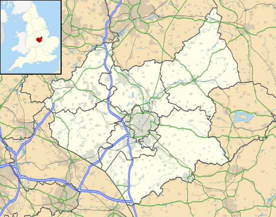 EGBG Location in Leicestershire | |||||||||||||||||||||||||||
| Runways | |||||||||||||||||||||||||||
| |||||||||||||||||||||||||||
Royal Air Force Station Leicester East, more commonly known as RAF Leicester East, (ICAO: EGBG), is a former Royal Air Force station, near the village of Stoughton, 4 NM (7.4 km; 4.6 mi) east southeast of Leicester,[1] Leicestershire.
It was constructed in 1942 and formally opened in October 1943. The airfield is now Leicester Airport.
History
The following squadrons were posted to the airfield at some point:
- No. 190 Squadron RAF - flying Short Stirling
- No. 196 Squadron RAF - flying Short Stirling
In March 1945 all operational military aircraft left Leicester East, and the airfield was placed on Care and Maintenance until its closure on 31 December 1947.
Current use
Today, the former RAF Leicester East is now known as Leicester Airport, and was previously known as Stoughton Aerodrome.
The airfield, control tower, and other smaller buildings are now used by the Leicestershire Aero Club
See also
| Wikimedia Commons has media related to Leicester Airport. |
- Airport information for EGBG at World Aero Data. Data current as of October 2006.
- Royal Air Force station
- List of former Royal Air Force stations
References
Royal Air Force portal | ||
| Formations and units |  | |
| Branches and components | ||
| Reserve forces | ||
| Associated civil organizations | ||
| Equipment | ||
| Personnel | ||
| Appointments | ||
| Symbols and uniform | ||