Moka
| Moka | |
|---|---|
| Village | |
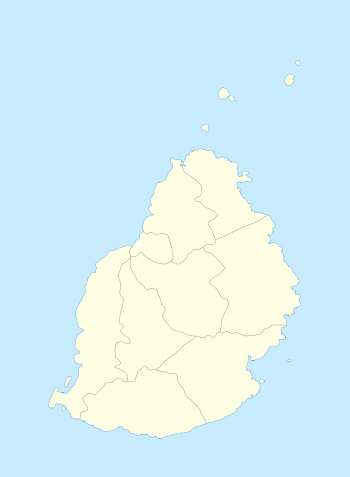 Moka Moka's location in Mauritius | |
| Coordinates: MU 20°13′08″S 57°29′46″E / 20.219°S 57.496°ECoordinates: MU 20°13′08″S 57°29′46″E / 20.219°S 57.496°E | |
| Country | Mauritius |
| Districts | Moka District |
| Elevation[1] | 203 m (666 ft) |
| Highest elevation[2] | 425 m (1,394 ft) |
| Population (October 2011)[3] | |
| • Total | 8,846 |
| • Density | 507.2/km2 (1,314/sq mi) |
| Time zone | Mauritius Time (UTC+4) |
| Area code(s) | 230 |
| ISO 3166 code | MU |
| Climate | Am |
Moka is a village in Mauritius located in the Moka District, the western part of the village also lies in the Plaines Wilhems District.[4] The village is administered by the Moka Village Council under the aegis of the Moka District Council.[5] According to the census made by Statistics Mauritius in 2011, the population was at 8,846.[3] The elevation is 203 meters and can be up to 425 meters in some places. Moka is directly on the other side of the Moka Range from Port Louis. The village is close to the mountain Le Pouce and the town Beau-Bassin Rose-Hill. Réduit is a suburb of the village where the State House and University of Mauritius is situated. The village is also home to the Mauritius Broadcasting Corporation and the Mahatma Gandhi Institute.
History
Housing boom
Moka is centrally located in Mauritius and as such has experienced a real estate development boom in the past few years. This was mainly encouraged by the development of the CyberCity two kilometers away in Ebene. Another contributing factor to this property business was the fact that since Mauritius will not benefit from preferential prices for its sugar by the European Community and World Trade Organization, sugar estates quickly started real estate business units that would convert the land under sugar cane culture to residential lands. From 2004 to 2006, Moka saw five property estate developments.
Weather
Moka has a tropical wet climate. Since it is in the southern hemisphere, February is the warmest month and August is the coolest. Temperatures normally can range from 28 °C (82 °F) in February to 15 °C (59 °F) at night in August. The dry season is in October, the wet season is in February. Temperature is somewhat constant.[1]
Places
Schools
Schools in Moka include Le Bocage International School,[6] Mahatama Gandhi Institute, Mahatma Gandhi Secondary School, St. Mary Roman Catholic School, and Ecole du Centre.[7]
University

Other
Other important institutions in Moka are the:
- Agricultural Marketing Board (AMB) which stocks vegetables (mainly potatoes) for local consumption
- Subramaniam Bharati Eye Centre (AKA Moka Eye Hospital) which is the country's only specialized eye hospital.
- Catholic Church
Notable people
- Thomas Shadrach James, Australian pioneer
See also
References
- 1 2 "Quick info, Local Time in Moka, Moka, Mauritius". Chinchi.com.
- ↑ "What is the elevation of Moka, Mauritius?". WolframAlpha.
- 1 2 "Table G1 - Resident population by geographical location, whereabouts on census night and sex" (PDF). Central Statistic Office. 2011: 3. Retrieved 2012-11-29.
- ↑ Statistics Mauritius (2011). "Housing and population Census 2011" (PDF). Government of Mauritius. Retrieved 28 November 2012.
- ↑ Ministry of Local Government and Outer Islands. "Local Government Act 2011" (PDF). Government of Mauritius. Retrieved 28 November 2012.
- ↑ "Home." Le Bocage International School. Retrieved on May 4, 2015.
- ↑ "École du Nord." AEFE. Retrieved on May 4, 2015.
| Wikimedia Commons has media related to Moka. |