Qutapata (Murillo)
For the mountain in the Irupana Municipality, Sud Yungas Province, La Paz Department, Bolivia, see Qutapata.
| Qutapata | |
|---|---|
| Highest point | |
| Elevation | 5,288 m (17,349 ft) [1] |
| Coordinates | 16°25′46″S 67°58′18″W / 16.42944°S 67.97167°WCoordinates: 16°25′46″S 67°58′18″W / 16.42944°S 67.97167°W |
| Geography | |
| Location |
Bolivia La Paz Department, Murillo Province, La Paz Municipality |
| Parent range | Andes, Cordillera Real |
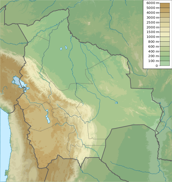
Qutapata (Aymara quta lake, pata step,[2] also spelled Khotapata) is a 5,288 metres (17,349 ft) high mountain in the Cordillera Real in the Bolivian Andes. It is situated in the La Paz Department, Murillo Province, La Paz Municipality, near the border with the Sud Yungas Province, Yanacachi Municipality. Qutapata lies south-west of the mountain Sirk'i Qullu, west of the mountain Jathi Qullu and south of the lake Sirk'i Quta.[1][3]
The river Jathi Jawira (Hati Jahuira) originates between Jathi Qullu and Qutapata. It flows to the Pallquma River (Palcoma) in the south-west.[1] Pallquma River is an affluent of Irpawi River (Irpavi), a tributary of the Choqueyapu River.
References
- 1 2 3 Bolivian IGM map 1:100,000 Chulumani sheet 3338
- ↑ Radio San Gabriel, "Instituto Radiofonico de Promoción Aymara" (IRPA) 1993, Republicado por Instituto de las Lenguas y Literaturas Andinas-Amazónicas (ILLLA-A) 2011, Transcripción del Vocabulario de la Lengua Aymara, P. Ludovico Bertonio 1612 (Spanish-Aymara-Aymara-Spanish dictionary)
- ↑ "La Paz". INE, Bolivia. Retrieved September 25, 2014.
This article is issued from Wikipedia - version of the 12/6/2015. The text is available under the Creative Commons Attribution/Share Alike but additional terms may apply for the media files.