Qartaba
| Qartaba قرطبا | |
|---|---|
| City | |
|
Qartaba | |
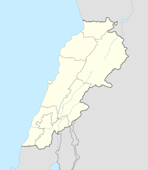 Qartaba Location within Lebanon | |
| Coordinates: 34°06′N 35°51′E / 34.100°N 35.850°ECoordinates: 34°06′N 35°51′E / 34.100°N 35.850°E | |
| Country |
|
| Governorate | Mount Lebanon Governorate |
| District | Jbeil District |
| Time zone | EET (UTC+2) |
| • Summer (DST) | EEST (UTC+3) |
| Dialing code | +961 |

Qartaba (Arabic: قرطبا, also spelled Kartaba) is a village in the Jbeil District of the Mount Lebanon Governorate, Lebanon. It is located 54 kilometers north Beirut on the mountains above Byblos at an altitude of 1,250 meters.[1] A picturesque town with a large church square and well-built houses, Qartaba is surrounded by olive groves, mulberry orchards, and vineyards.[2] in Syriac, Qartaba means "good, curing and balanced weather".
History
Qartaba was considered an important village in the Jbeil highland, a trade point for surrounding villages.[1] Silk manufacturing flourished and in 1918, seven factories employed more than 500 people and much of the silk was exported to Lyon, France.[1]
Demographics
The inhabitants of Qartaba are predominantly Maronite Catholics.[3] The major families of the village are El-Sokhn, Sakr, Karam, Beyrouthy, Khoury, Acar, Gharios, Challita and Salem.
Gallery


References
External links
Capital: Jbeil | ||
| Towns and villages |
|  |
| Landmarks |
| |