Qaha
| Qaha | |
|---|---|
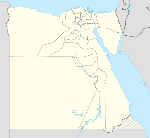 Qaha Location in Egypt | |
| Coordinates: 30°17′N 31°12′E / 30.283°N 31.200°E | |
| Country |
|
| Governorate | Qalyubia |
| Time zone | EST (UTC+2) |
| • Summer (DST) | +3 (UTC) |
Qaha (Egyptian Arabic: قها pronounced [ˈʔæhæ]) is a city in northeastern Egypt, located 25 km (18 mins) north of Cairo. It is located in the rich farmland of the southern part of the Nile Delta, and is well-irrigated by canals leading off the Delta Barrage.
Overview
In ancient times, Qaha was a small village named Qahour (Kahour) or Kahani. Today it is famous for its preserved foods industry and as an industrial and agricultural town. It lies on the rail network that radiates north from Cairo.
Most of the agricultural land on the East of Qaha is famous for its citrus orchards.
Climate
Köppen-Geiger climate classification system classifies its climate as hot desert (BWh),[1] as the rest of Egypt.
| Climate data for Qaha | |||||||||||||
|---|---|---|---|---|---|---|---|---|---|---|---|---|---|
| Month | Jan | Feb | Mar | Apr | May | Jun | Jul | Aug | Sep | Oct | Nov | Dec | Year |
| Average high °C (°F) | 19.2 (66.6) |
20.9 (69.6) |
23.7 (74.7) |
27.9 (82.2) |
31.9 (89.4) |
34.3 (93.7) |
34.6 (94.3) |
34.4 (93.9) |
32.3 (90.1) |
29.9 (85.8) |
25.4 (77.7) |
20.8 (69.4) |
27.94 (82.28) |
| Daily mean °C (°F) | 12.9 (55.2) |
14 (57) |
16.6 (61.9) |
19.9 (67.8) |
23.7 (74.7) |
26.4 (79.5) |
27.5 (81.5) |
27.4 (81.3) |
25.3 (77.5) |
23 (73) |
19.3 (66.7) |
14.6 (58.3) |
20.88 (69.53) |
| Average low °C (°F) | 6.7 (44.1) |
7.2 (45) |
9.5 (49.1) |
12 (54) |
15.6 (60.1) |
18.6 (65.5) |
20.4 (68.7) |
20.4 (68.7) |
18.4 (65.1) |
16.1 (61) |
13.2 (55.8) |
8.5 (47.3) |
13.88 (57.03) |
| Average precipitation mm (inches) | 5 (0.2) |
4 (0.16) |
3 (0.12) |
1 (0.04) |
1 (0.04) |
0 (0) |
0 (0) |
0 (0) |
0 (0) |
1 (0.04) |
2 (0.08) |
6 (0.24) |
23 (0.92) |
| Source: Climate-Data.org (altitude: m)[1] | |||||||||||||
References
- 1 2 "Climate: Qaha - Climate graph, Temperature graph, Climate table". Climate-Data.org. Retrieved 2014-02-23.
Coordinates: 30°17′N 31°12′E / 30.283°N 31.200°E