Purnea Airport
| Purnea Airport पूर्णिया हवाई अड्डा Pūrṇiyā Havāī Aḍḍā | |||||||||||
|---|---|---|---|---|---|---|---|---|---|---|---|
| IATA: none – ICAO: VEPU | |||||||||||
| Summary | |||||||||||
| Airport type | Military | ||||||||||
| Operator | Indian Air Force | ||||||||||
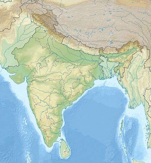
| Location | Purnia | ||||||||||
| Elevation AMSL | 129 ft / 39 m | ||||||||||
| Coordinates | 25°45′35″N 087°24′36″E / 25.75972°N 87.41000°ECoordinates: 25°45′35″N 087°24′36″E / 25.75972°N 87.41000°E | ||||||||||
| Map | |||||||||||
 VEPU Airport in India | |||||||||||
| Runways | |||||||||||
| |||||||||||
Purnea Airport (ICAO: VEPU) is located near Purnia in the state of Bihar, India
Airlines and destinations
Spirit Air Private Limited, in association with Bangalore-based Door to Door Services Limited (DTDS), started[1] non-scheduled flight services on Patna-Purnea and Purnea-Calcutta routes, flying twice a week to Kolkata and Patna.The flight takes 50 minutes to fly from Purnea to Patna.[2]
References
External links
This article is issued from Wikipedia - version of the 12/4/2016. The text is available under the Creative Commons Attribution/Share Alike but additional terms may apply for the media files.