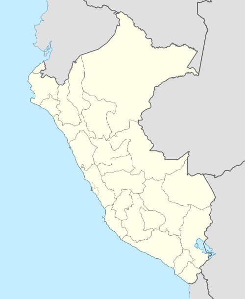
Pura Purani (Peru)
For the mountain in Bolivia, see Pura Purani.
| Pura Purani | |
|---|---|
 Pura Purani Peru | |
| Highest point | |
| Elevation | 5,000 m (16,000 ft) [1] |
| Coordinates | 16°11′59″S 70°22′10″W / 16.19972°S 70.36944°WCoordinates: 16°11′59″S 70°22′10″W / 16.19972°S 70.36944°W |
| Geography | |
| Location | Peru, Moquegua Region, Puno Region |
| Parent range | Andes |
Pura Purani (Aymara pura pura Xenophyllum (or a species of it),[2] -ni a suffix to indicate ownership, "the one with the pura pura plant", also spelled Purapurani) is a mountain in the Andes of southern Peru, about 5,000 metres (16,404 ft) high. It is located on the border of the Moquegua Region, General Sánchez Cerro Province, Ichuña District, and the Puno Region, Puno Province, San Antonio District. It lies west of Chuqipata and northwest of Millu.[1]
References
- 1 2 escale.minedu.gob.pe - UGEL map of the Puno Province 1 (Puno Region)
- ↑ Jorge Araya-Presa, Francisco A. Squeo, Lina Barrientos, Eliana Belmonte, Manuel Mamani, Gina Arancio, Manual de Plantas y Canciones en Aymara, PROYECTO EXPLORA-CONICYT ED7/02/085: Etnobotánica y Etnomusicología Aymara: Divulgación de la sabiduría ancestral sobre plantas nativas del Altiplano de Arica, Chile, 2003
This article is issued from Wikipedia - version of the 2/3/2016. The text is available under the Creative Commons Attribution/Share Alike but additional terms may apply for the media files.