Lazarus Island
| Native name: <span class="nickname" ">Pulau Sakijang Pelepah | |
|---|---|
 Lazarus Island | |
| Geography | |
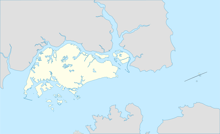
| Location | Singapore Strait |
| Coordinates | 1°13′20.1354″N 103°51′19.296″E / 1.222259833°N 103.85536000°ECoordinates: 1°13′20.1354″N 103°51′19.296″E / 1.222259833°N 103.85536000°E |
| Administration | |
Lazarus Island, (also known as Pulau Sakijang Pelepah), is one of the Southern Islands in Singapore. It is located south of the main island of Singapore, off the Straits of Singapore and is currently uninhabited.
Etymology
Lazarus island was also known as Pulau Sakijang Pelepah (alternatively spelled as Pulau Sekijang Pelepah).[1] Literally translated from Malay, 'sa' means one, 'kijang' means barking deer and 'pelepah' is a palm frond. Put together, it means 'Island of One Barking Deer and Palms'.[2]
It is unclear when and why it was renamed to Lazarus Island.[3]
References
- ↑ Chen, Junhao; Chong, Kwek Yan; Yee, Alex T. K.; Tan, Hugh T.W. (2014). A Gazetteer of the Singapore Locality Names of the Collections of the Herbarium, Singapore Botanic Gardens. (PDF). Singapore: Lee Kong Chian Natural History Museum, National University of Singapore. p. 15. ISBN 978-981-07-2589-1.
- ↑ "Lazarus Island". The Digital Nature Archive of Singapore, Lee Kong Chian Natural History Museum. Retrieved 2016-03-08.
- ↑ Look, Woon Wei; Yeo, Miranda (5 June 2015). "Lazarus Island's laid-back charm". The Straits Times. Retrieved 8 March 2016.
This article is issued from Wikipedia - version of the 11/24/2016. The text is available under the Creative Commons Attribution/Share Alike but additional terms may apply for the media files.