Priors Hardwick
| Priors Hardwick | |
 Priors Hardwick |
|
| Population | 172 (2011 Census) |
|---|---|
| OS grid reference | SP470559 |
| Civil parish | Priors Hardwick |
| District | Stratford-on-Avon |
| Shire county | Warwickshire |
| Region | West Midlands |
| Country | England |
| Sovereign state | United Kingdom |
| Post town | Coventry |
| Postcode district | CV47 |
| Dialling code | 01327 |
| Police | Warwickshire |
| Fire | Warwickshire |
| Ambulance | West Midlands |
| EU Parliament | West Midlands |
| UK Parliament | Stratford-on-Avon |
|
|
Coordinates: 52°12′N 1°19′W / 52.20°N 1.31°W
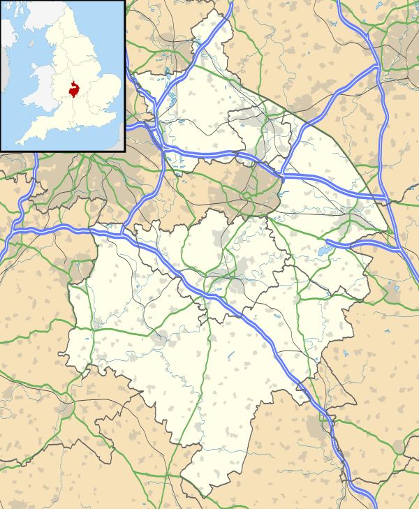
Priors Hardwick is an affluent, sought-after village and civil parish in the Stratford district of Warwickshire, England. The population of the civil parish as taken at the 2011 census was 172.[1] The name derives from the fact that it was originally a manor belonging to the Priors of Coventry.[2]
History
The oldest houses in the village are centred on the village green, with The Butcher's Arms dated as 1562,[2] although some sources place it back as far as 1375.
The proximity to the drover's road known as the Welsh Road influenced the village and the naming of local landmarks. The cattle drovers used to water their animals at a pond outside the village, which resulted in it being named Cowpool. This is unusual, since locally, such waterholes were named pits, rather than the Welsh-derived name pool (pwyll). London End in the village, and various buildings with welsh in their name also derive from the closeness of the road.[3]
The original settlement is on the government's list of Scheduled Ancient Monuments[4] with most of the village being enclosed in a Conservation Area.[5]
In 1831 the area of the parish was 1,600 acres (6 km2), which was reduced to 1,535 acres (6 km2) some time between 1881 and 1891[6]
In 1836 the village became part of the Southam Poor Law Union which ran a workhouse in Southam.[7]
Until 1974, the parish belonged to the Southam Rural District.
Population
According to census information[6] the population figures have been:
- in 1831 there were 69 males aged over 20
- Total Population
| Year | Total Population | Males | Females |
|---|---|---|---|
| 1801 | 228 | 110 | 118 |
| 1811 | 252 | 120 | 132 |
| 1821 | 263 | 132 | 131 |
| 1831 | 296 | 153 | 143 |
| 1841 | 280 | 138 | 142 |
| 1851 | 303 | 159 | 144 |
| 1861 | 323 | 182 | 141 |
| 1871 | 335 | 190 | 145 |
| 1881 | 280 | 141 | 139 |
| 1891 | 267 | 131 | 136 |
| 1901 | 225 | 115 | 110 |
| 1911 | 193 | 89 | 104 |
| 1921 | 177 | 88 | 89 |
| 1931 | 142 | 72 | 70 |
| 1951 | 151 | 72 | 79 |
| 1961 | 143 | 73 | 70 |
| 1971 | 162 | n/a | n/a |
Agriculture
In an 1801 survey[6] the agricultural output of the parish was:
| Crop | Area (acre) | Percent |
|---|---|---|
| Wheat | 32 | 40% |
| Barley and Oats | 26 | 33% |
| Potatoes | 2 | 3% |
| Peas and Beans | 19 | 24% |
| Turnips or Rape | 0 | 0 |
| Rye | 0 | 0 |
| Other | 0 | 0 |
Occupations
In an 1831 study[6] the following occupations were categorised:
| Occupation | Persons | Percent |
|---|---|---|
| Farmers employing Labourers | 9 | 13% |
| Farmers not employing Labourers | 1 | 1% |
| Agricultural Labourers | 39 | 58% |
| Manufacturing | 0 | 0% |
| Retail and Handicrafts | 14 | 20% |
| Capitalists, Professionals | 1 | 1% |
| Labourers (non-agricultural) | 2 | 3% |
| Servants | 3 | 4% |
| Other | 0 | 0 |
Population
According to the 2001 census,[8] the parish consists of 79 households with a population of 167 (80 males and 87 females). Of the 79 households, 63 were owner-occupied, 4 were rented from the council, and 12 were rented from a private landlord. 11 households had no car or van, 27 had one car or van, 23 had two and 18 had three or more. the mean population age was 43.88 and the median was 46. The average distance travelled to a fixed place of work was 24.25 km.
Landmarks
The major business in the village is The Butcher's Arms, originally a pub, now a Portuguese restaurant.

The Anglican parish church of St Mary is a Grade II* listed building, with parts dating from the 12th century. It is part of the Bridges Group of Parishes.
References
- ↑ "Civil Parish population 2011". Retrieved 31 December 2015.
- 1 2 Template:Cite web. Hardwick is considered a very sought after location.
- ↑ Colyer, Richard. "Welsh Cattle Drovers in the Nineteenth Century". National Library of Wales journal. 1974, Summer. Volume XVIII/3. Retrieved 13 March 2007.
- ↑ "Stratford-on-Avon District Local Plan Review 1996–2011, Appendix 5 – Scheduled Ancient Monuments" (PDF). Stratford-on-Avon District Council. January 2003. Retrieved 13 March 2007.
- ↑ "Priors Hardwick Conservation Area" (PDF). Stratford-on-Avon District Council. February 2006. Retrieved 13 March 2007.
- 1 2 3 4 "A vision of Priors Hardwick AP/CP". Vision of Britain. February 2006. Retrieved 13 March 2007.
- ↑ "Southam Union Workhouse". Rossbret Institutions Website. Rossbret. 16 March 2005. Retrieved 13 March 2007.
- ↑ "Neighbourhood Statistics: Priors Hardwick". nationalSTATISTICS. Retrieved 13 March 2007.
External links
| Wikimedia Commons has media related to Priors Hardwick. |

| Boroughs or districts | |
|---|---|
| Major settlements | |
| Rivers | |
| Canals | |
| Topics | |