Porcupine Plain
| Porcupine Plain, Saskatchewan | |
|---|---|
| Town | |
| Motto: Nature's Gift | |
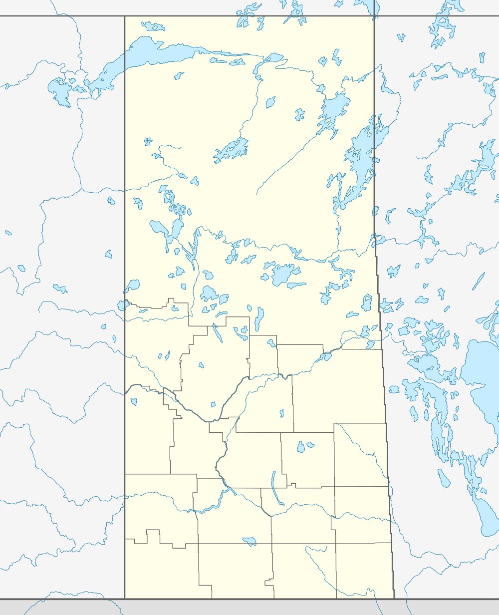  Location of Porcupine Plain in Saskatchewan | |
| Coordinates: 52°35′53″N 103°14′53″W / 52.598°N 103.248°W | |
| Country | Canada |
| Province | Saskatchewan |
| Region | Saskatchewan |
| Census division | 14 |
| Rural Municipality | Porcupine No. 395 |
| Post office Founded | 1929-04-01 |
| Incorporated (Village) | N/A |
| Incorporated (Town) | N/A |
| Government | |
| • Mayor | Carol Belchamber |
| • Administrator | Twyla Salmond |
| • Governing body | Porcupine Plain Town Council |
| Area | |
| • Total | 2.27 km2 (0.88 sq mi) |
| Population (2011) | |
| • Total | 855 |
| • Density | 377.2/km2 (977/sq mi) |
| Time zone | CST |
| Postal code | S0E 1H0 |
| Area code(s) | 306 |
| Highways | Highway 23 |
| Railway | Canadian National Railway (abandoned) |
| Website | Town of Porcupine Plain |
| [1][2][3][4] | |
Porcupine Plain is a town in Saskatchewan, Canada. It is accessed by Highway 23. Greenwater Lake Provincial Park is 5 kilometres (3.1 mi) southwest on Highway 38. The town is located within the Porcupine Provincial Forest. The town was originally settled by returning World War I veterans who settled in the area during the early 1920s.[5] Quilly Willy is the town mascot used on promotional material. Porcupine Plain is the hometown of Calgary Hitmen play-by-play man Brad Curle.
Demographics
| Canada census – Porcupine Plain community profile | |||
|---|---|---|---|
| 2011 | |||
| Population: | 855 (9.2% from 2006) | ||
| Land area: | 2.27 km2 (0.88 sq mi) | ||
| Population density: | 377.2/km2 (977/sq mi) | ||
| Median age: | 46.1 (M: 43.7, F: 48.4) | ||
| Total private dwellings: | 388 | ||
| Median household income: | |||
| References: 2011[6] | |||
See also
Footnotes
- ↑ National Archives, Archivia Net, Post Offices and Postmasters
- ↑ Government of Saskatchewan, MRD Home, Municipal Directory System, archived from the original (– Scholar search) on November 21, 2008
- ↑ Canadian Textiles Institute. (2005), CTI Determine your provincial constituency
- ↑ Commissioner of Canada Elections, Chief Electoral Officer of Canada (2005), Elections Canada On-line
- ↑ Sask Biz
- ↑ "2011 Community Profiles". Canada 2011 Census. Statistics Canada. July 5, 2013. Retrieved 2012-08-22.
External links
 |
Mistatim | | ||
| Chelan | |
Carragana | ||
| ||||
| | ||||
| Lintlaw |
Coordinates: 52°35′53″N 103°14′53″W / 52.598°N 103.248°W
This article is issued from Wikipedia - version of the 9/10/2016. The text is available under the Creative Commons Attribution/Share Alike but additional terms may apply for the media files.