Poptún Airport
| Poptún Airport | |||||||||||
|---|---|---|---|---|---|---|---|---|---|---|---|
| IATA: PON – ICAO: MGPP | |||||||||||
| Summary | |||||||||||
| Airport type | Public | ||||||||||
| Serves | Poptún | ||||||||||
| Elevation AMSL | 1,693 ft / 516 m | ||||||||||
| Coordinates | 16°19′35″N 89°25′00″W / 16.32639°N 89.41667°WCoordinates: 16°19′35″N 89°25′00″W / 16.32639°N 89.41667°W | ||||||||||
| Map | |||||||||||
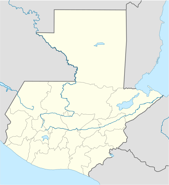 PON Location of the airport in Guatemala | |||||||||||
| Runways | |||||||||||
| |||||||||||
|
Source: Google Maps[1] | |||||||||||
Poptún Airport (IATA: PON, ICAO: MGPP) is an airport serving the town of Poptún in Guatemala.
See also
References
- Google Earth
External links
This article is issued from Wikipedia - version of the 12/5/2016. The text is available under the Creative Commons Attribution/Share Alike but additional terms may apply for the media files.