Pointe Kurz
| Pointe Kurz | |
|---|---|
 The east side | |
| Highest point | |
| Elevation | 3,680 m (12,070 ft) |
| Prominence | 174 m (571 ft) [1] |
| Parent peak | Aiguille d'Argentière |
| Coordinates | 45°56′18″N 7°02′07.5″E / 45.93833°N 7.035417°ECoordinates: 45°56′18″N 7°02′07.5″E / 45.93833°N 7.035417°E |
| Geography | |
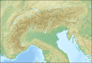 Pointe Kurz Location in the Alps | |
| Location |
Valais, Switzerland Haute-Savoie, France |
| Parent range | Mont Blanc Massif |
Pointe Kurz (3,680 m) is a mountain of the Mont Blanc Massif, located on the border between France and Switzerland. It lies between the glaciers of Argentière and L'A Neuve, west of La Fouly, the closest locality.
The Pointe Kurz is the highest summit of the Aiguilles Rouges du Dolent, a small range situated between the Tour Noir and Mont Dolent.
See also
References
External links
This article is issued from Wikipedia - version of the 1/3/2016. The text is available under the Creative Commons Attribution/Share Alike but additional terms may apply for the media files.