Phu Nam Ron
| Phu Nam Ron พุน้ำร้อน | |
|---|---|
| Htee Kee | |
 Location | |
| Elevation | 350 m (1,148 ft)[1] |
| Location | Myanmar–Thailand border |
| Range | Tenasserim Hills |
| Coordinates | 13°53′39″N 99°4′55″E / 13.89417°N 99.08194°ECoordinates: 13°53′39″N 99°4′55″E / 13.89417°N 99.08194°E |
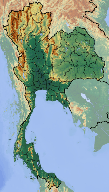
Phu Nam Ron (Thai: พุน้ำร้อน) is a pass across the Tenasserim Hills on the border between Thailand and Myanmar, at an elevation of 350 metres (1,150 ft). The border checkpoint on the Thai side is located in Ban Kao Subdistrict, Mueang Kanchanaburi District, Kanchanaburi Province.
Border posts
Htee Kee is the name of the new town in the Tanintharyi Region on the Burmese side of the border which is currently being developed.[2] The Phu Nam Ron pass is expected to gain in importance if the planned Dawei deepwater port project goes ahead, which includes a highway and a railway line between Bangkok and that harbor.[3]
The road on the Burmese side leads to Dawei via Sinbyudaing and Myitta; it has been recently been upgraded.[4]
 Road control post before the border |
 Phu Nam Ron border post |
References
External links
This article is issued from Wikipedia - version of the 5/18/2016. The text is available under the Creative Commons Attribution/Share Alike but additional terms may apply for the media files.