Phu Khi Suk
| Phu Khi Suk | |
|---|---|
| ภูขี้สุข | |
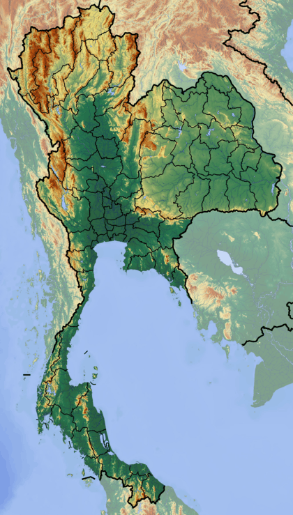 Phu Khi Suk Location in Thailand | |
| Highest point | |
| Elevation | 753 m (2,470 ft) |
| Listing | List of mountains in Thailand |
| Coordinates | 14°19′01″N 105°06′28″E / 14.31694°N 105.10778°ECoordinates: 14°19′01″N 105°06′28″E / 14.31694°N 105.10778°E [1] |
| Geography | |
| Location | Thailand |
| Parent range | Dângrêk Range |
| Geology | |
| Mountain type | Sandstone |
| Climbing | |
| First ascent | unknown |
| Easiest route | hike |
Phu Khi Suk (Thai: ภูขี้สุข) is a 753-metre-high (2,470 ft) mountain in Ubon Ratchathani Province, Thailand.[2]
Geography
Phu Khi Suk is the highest peak of the Dângrêk Range, rising at the eastern end of the long mountain chain. It is located close to the Chong Bok (603 m) area, a tripoint where the borders of Thailand, Laos and Cambodia intersect.[3]
See also
References
- ↑ Google Earth
- ↑ Phu Khi Suk, Changwat Ubon Ratchathani, Thailand
- ↑ Roadway Thailand Atlas, Groovy Map Co., Ltd. © 4/2010
External links
This article is issued from Wikipedia - version of the 4/30/2016. The text is available under the Creative Commons Attribution/Share Alike but additional terms may apply for the media files.