Panamá District
| Panamá District | |
|---|---|
| District | |
 | |
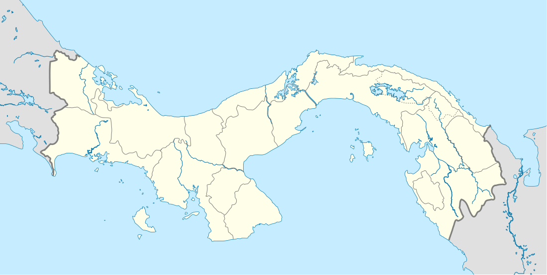 Panamá District Location of the district capital in Panama | |
| Coordinates: 8°59′N 79°31′W / 8.983°N 79.517°WCoordinates: 8°59′N 79°31′W / 8.983°N 79.517°W | |
| Country |
|
| Province | Panamá Province |
| Capital | Panama City |
| Area | |
| • Total | 989 sq mi (2,561 km2) |
| Population (2010) | |
| • Total | 880,691 |
| Time zone | ETZ (UTC-5) |
Panamá District is a district (distrito) of Panamá Province in Panama. The population according to the 2010 census was 880,691.[1] The district covers a total area of 2561 km². The district seat is Panama City.[1]
Administrative divisions
The district is divided administratively into the following corregimientos:
San Felipe, El Chorrillo, Santa Ana, La Exposición o Calidonia, Curundú, Betania, Bella Vista, Pueblo Nuevo, San Francisco, Parque Lefevre, Río Abajo, Juan Díaz, Pedregal, Ancón, Chilibre, Las Cumbres, Pacora, San Martín, Tocumen, Las Mañanitas and 24 de Diciembre.
References
- 1 2 "Districts of Panama". Statoids. Retrieved September 23, 2014.
| Bocas del Toro Province | |
|---|---|
| Chiriquí Province | |
| Coclé Province | |
| Colón Province | |
| Darién Province | |
| Herrera Province | |
| Los Santos Province | |
| Panamá Province | |
| Veraguas Province | |
| West Panamá Province | |
This article is issued from Wikipedia - version of the 5/30/2016. The text is available under the Creative Commons Attribution/Share Alike but additional terms may apply for the media files.