Ozoro
| Ozoro | |
|---|---|
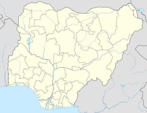 Ozoro Location in Nigeria | |
| Coordinates: 5°32′18″N 6°12′58″E / 5.53833°N 6.21611°E | |
| Country |
|
| State | Delta State |
Ozoro is the headquarters of the Isoko North Local Government Area, one of the two administrative units in the Isoko region of Delta State, southern Nigeria. Ozoro had been incorrectly spelt "Usoro" in some older maps of Nigeria.
Politics and Government
As the administrative center for the local government, it houses the council offices. Ozoro is made up of five quarters: Uruto, Erovie, Etevie, Urude and Oruamudhu.
The traditional ruler and custodian of the people's customs and traditions is the Ovie. The Ovie is influential in isoko land in matters relating to Ozoro. He is also a member of the state council of traditional rulers, which also provides him an additional platform for influence on statewide matters.
Economy
The main economic activity is food crop farming accompanied by some hunting. And the staple food crops include cassava and yams. Women form a large proportion of the farming population. They also engage in trade of food crops for cash to meet other basic household needs. On market days, Ozoro women can be seen selling assorted wares in the town market. Cassava is the source of most of the food consumed by the Ozoro people. Garri, starch meal (Ozi) and Egu are cassava derivatives.
Demographics
There is no definitive population census figure for Ozoro and, indeed, all of Isoko.[1] However, Ozoro is one of the largest communities in Isoko land, both in terms of size and population.
Education
Ozoro has several primary, secondary and post-secondary schools. Secondary institutions in Ozoro include Notre Dame College, Saint Joseph Teachers College and Anglican Girls Grammar School. Post-secondary institutions include a campus of the Delta State Polytechnic and the new Film and Broadcast Academy.
Religious Beliefs
Although the predominant religion in Ozoro is Christianity, many natives still practice pagan worship. This is evident in the several ancestral shrines that can still be seen in Ozoro. A critical appraisal of the belief system of the average Ozoro indegene will reveal a combination of both Christian and pagan leanings.
References
Coordinates: 5°32′18″N 6°12′58″E / 5.538333°N 6.216111°E