Ozimek
| Ozimek | ||
|---|---|---|
|
Lutheran church | ||
| ||
 Ozimek | ||
| Coordinates: 50°40′23″N 18°12′47″E / 50.67306°N 18.21306°E | ||
| Country |
| |
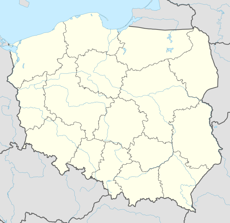
| Voivodeship | Opole Voivodeship | |
| County | Opole County | |
| Gmina | Ozimek | |
| Town rights | 1962 | |
| Government | ||
| • Mayor | Jan Labus | |
| Area | ||
| • Total | 3.25 km2 (1.25 sq mi) | |
| Population (2006) | ||
| • Total | 9,944 | |
| • Density | 3,100/km2 (7,900/sq mi) | |
| Time zone | CET (UTC+1) | |
| • Summer (DST) | CEST (UTC+2) | |
| Postal code | 46-040 | |
| Area code(s) | +48 77 | |
| Vehicle registration plates | OPO | |
| Website | http://www.ozimek.pl | |

This article is about the town. For the animal of the same name, see Ozimek volans.
Ozimek [ɔˈʑimɛk] (German: Malapane; Silesian: Uoźimek) is a town in Opole County, Opole Voivodeship, Poland, with 10,040 inhabitants (2004).
History of the town starts in 1753, when Malapanew steelworks was opened, the first one in Silesia. In mid-19th century, Ozimek was located on the major rail route Lubliniec - Opole and the town quickly developed. However, it was not officially incorporated as a town until 1962. Among objects of interest, there is an iron bridge, opened in 1827. After World War II, Ozimek became part of Poland, the local populace was expelled.
International relations
Twin towns — Sister cities
Ozimek is twinned with:
Coordinates: 50°40′23″N 18°12′47″E / 50.67306°N 18.21306°E
| Town and seat |  | |
|---|---|---|
| Villages | ||
This article is issued from Wikipedia - version of the 11/30/2016. The text is available under the Creative Commons Attribution/Share Alike but additional terms may apply for the media files.