Oum el Bouaghi Airport
| Oum el Bouaghi Airport Aéroport d'Oum el Bouaghi | |||||||||||||||
|---|---|---|---|---|---|---|---|---|---|---|---|---|---|---|---|
| IATA: none – ICAO: DABO | |||||||||||||||
| Summary | |||||||||||||||
| Airport type | Public | ||||||||||||||
| Serves | Aïn Beïda | ||||||||||||||
| Location |
| ||||||||||||||
| Elevation AMSL | 3,150 ft / 960 m | ||||||||||||||
| Coordinates | 35°52′39.1″N 007°15′25.9″E / 35.877528°N 7.257194°ECoordinates: 35°52′39.1″N 007°15′25.9″E / 35.877528°N 7.257194°E | ||||||||||||||
| Map | |||||||||||||||
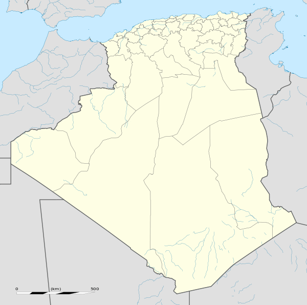 DABO Location of Oum el Bouaghi Airport in Algeria | |||||||||||||||
| Runways | |||||||||||||||
| |||||||||||||||
Oum el Bouaghi Airport French: Aéroport d'Oum el Bouaghi (ICAO: DABO) is a military airport located near Aïn Beïda, Oum El Bouaghi, Algeria.
See also
References
- ↑ Airport record for Oum el Bouaghi Airport at Landings.com. Retrieved 2013-09-06
- ↑ Google (2013-09-06). "location of Oum el Bouaghi Airport" (Map). Google Maps. Google. Retrieved 2013-09-06.
External links
- Airport record for Oum el Bouaghi Airport at Landings.com
- OurAirports - Oum El Bouaghi
- Oum el Bouaghi
- Current weather for DABO at NOAA/NWS
This article is issued from Wikipedia - version of the 6/20/2016. The text is available under the Creative Commons Attribution/Share Alike but additional terms may apply for the media files.