Otélé
| Otélé | |
|---|---|
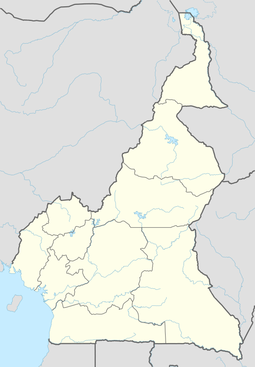 Otélé Location in Cameroon | |
| Coordinates: 3°35′0″N 11°15′0″E / 3.58333°N 11.25000°ECoordinates: 3°35′0″N 11°15′0″E / 3.58333°N 11.25000°E | |
| Country |
|
| Province | Centre Province |
| Elevation | 2,467 ft (752 m) |
Otele is a town in central Cameroon.[1][2]
Transport
It is served by the main line of Cameroon Railways. It is the junction for a short branch line to the river port of Mbalmayo.
Climate
Köppen-Geiger climate classification system classifies its climate as tropical wet and dry (Aw).[3]
| Climate data for Otélé | |||||||||||||
|---|---|---|---|---|---|---|---|---|---|---|---|---|---|
| Month | Jan | Feb | Mar | Apr | May | Jun | Jul | Aug | Sep | Oct | Nov | Dec | Year |
| Average high °C (°F) | 29.3 (84.7) |
29.7 (85.5) |
29.5 (85.1) |
29.5 (85.1) |
28.7 (83.7) |
27.3 (81.1) |
26.3 (79.3) |
26.3 (79.3) |
26.9 (80.4) |
27.5 (81.5) |
28 (82) |
28.6 (83.5) |
28.13 (82.6) |
| Daily mean °C (°F) | 24.6 (76.3) |
24.8 (76.6) |
24.6 (76.3) |
24.5 (76.1) |
24.3 (75.7) |
23.3 (73.9) |
22.6 (72.7) |
22.4 (72.3) |
23 (73) |
23.2 (73.8) |
23.5 (74.3) |
24.1 (75.4) |
23.74 (74.7) |
| Average low °C (°F) | 19.9 (67.8) |
19.9 (67.8) |
19.8 (67.6) |
19.5 (67.1) |
19.9 (67.8) |
19.4 (66.9) |
19 (66) |
18.5 (65.3) |
19.2 (66.6) |
18.9 (66) |
19.1 (66.4) |
19.7 (67.5) |
19.4 (66.9) |
| Average precipitation mm (inches) | 27 (1.06) |
59 (2.32) |
157 (6.18) |
203 (7.99) |
238 (9.37) |
172 (6.77) |
83 (3.27) |
115 (4.53) |
272 (10.71) |
319 (12.56) |
136 (5.35) |
31 (1.22) |
1,812 (71.33) |
| Source: Climate-Data.org, altitude: 688m[3] | |||||||||||||
See also
References
This article is issued from Wikipedia - version of the 10/26/2013. The text is available under the Creative Commons Attribution/Share Alike but additional terms may apply for the media files.