Orneta
| Orneta | |||
|---|---|---|---|
|
Town hall | |||
| |||
 Orneta | |||
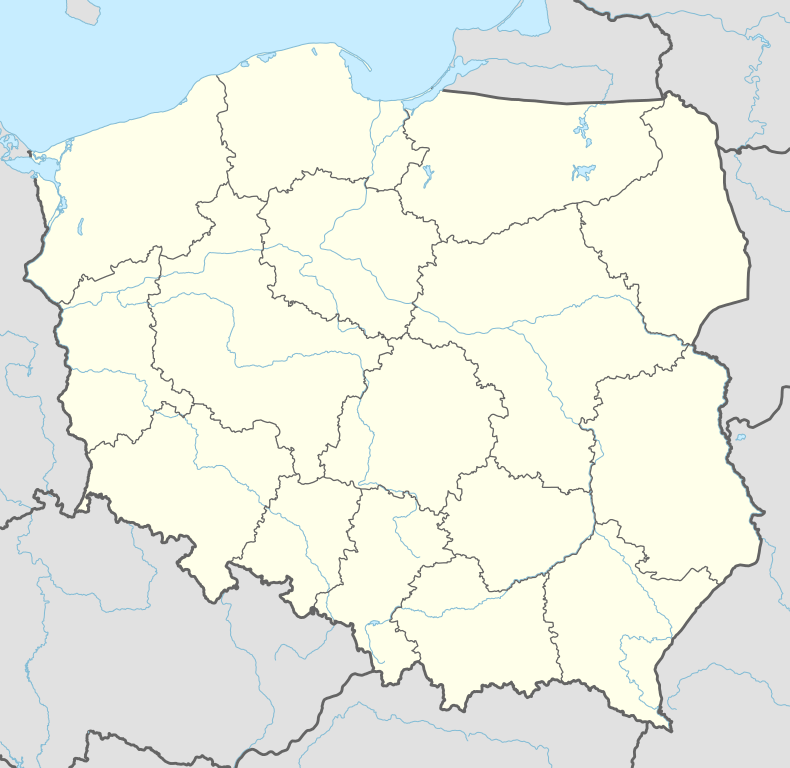
| Coordinates: 54°6′46″N 20°7′54″E / 54.11278°N 20.13167°E | |||
| Country |
| ||
| Voivodeship | Warmian-Masurian | ||
| County | Lidzbark | ||
| Gmina | Orneta | ||
| Area | |||
| • Total | 9.63 km2 (3.72 sq mi) | ||
| Population (2006) | |||
| • Total | 9,380 | ||
| • Density | 970/km2 (2,500/sq mi) | ||
| Postal code | 11-130 | ||
| Website | http://www.orneta.pl | ||


Orneta [ɔrˈnɛta] (German: Wormditt) is a town in northern Poland, in the Warmian-Masurian Voivodeship, with a population of 9,859 (as of 2007).
History
Wormditt, a village of Old Prussians, was first mentioned in 1308. The town coat of arms depicts the worm (English: worm, dragon), German: Worms, Wurm as in Tatzelwurm, Lindworm).The bishop of Warmia Eberhard von Neiße ordered the building of a city which received town rights in 1313 and was mainly populated by settlers from Silesia.
Prior to 1945 the area was part of Germany (East Prussia). After World War II the region was placed under Polish administration by the Potsdam Agreement under territorial changes demanded by the Soviet Union. Most Germans fled or were expelled and replaced with Poles expelled from the Polish areas annexed by the Soviet Union.
Legend of the dragon
According to some legend, many ages ago there lived a dragon that devoured not only animals, but also women and children. Many knights who tried to set the town free from the disaster were killed in a struggle with the monster. At last one of the knights managed to combat the dragon. Reminiscences of the legend are reflected in Orneta's crest. The oldest image of the crest is known from the sealing wax on the document from 1388. It represents the dragon biting its own tail. In the frame of the seal there is only a fragment of an inscription which says" S.BV.MDIT." However, on the seals from the 15th century, a juridical seal from the 16th century as well as the seal of the town secretary from 18th century there is the dragon coiled, lying on its own back.
Notable residents
- Petrus Zwicker (died 1403), cleric
External links
| Wikimedia Commons has media related to Orneta. |
Coordinates: 54°07′N 20°08′E / 54.117°N 20.133°E
| Town and seat |  | |
|---|---|---|
| Villages | ||