Ormara
| Ormara | |
|---|---|
| Town | |
 | |
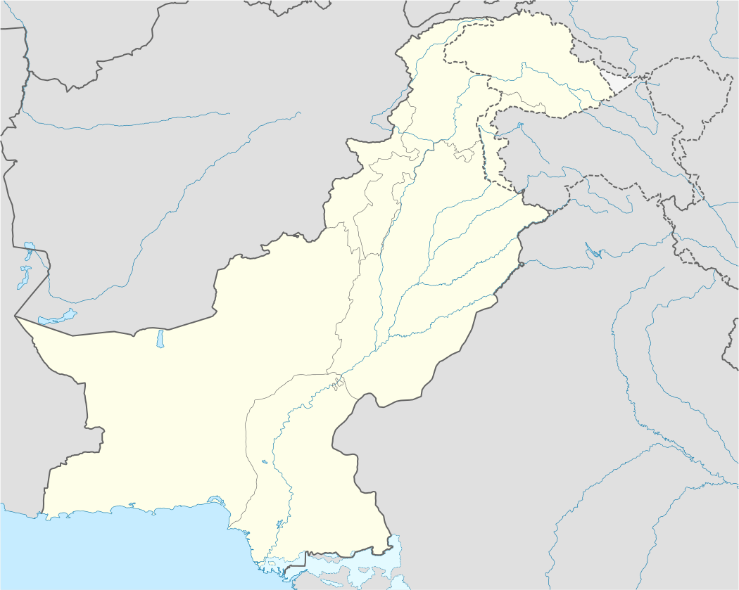 Ormara Location in Pakistan | |
| Coordinates: 25°12′53″N 64°38′2″E / 25.21472°N 64.63389°ECoordinates: 25°12′53″N 64°38′2″E / 25.21472°N 64.63389°E | |
| Country |
|
| Province | Balochistan |
| District | Gwadar |
| Time zone | PST (UTC+5) |
 Pakistan | |
| Location |
Ormara Pakistan |
|---|---|
| Coordinates | 25°11′19.3″N 64°41′15.8″E / 25.188694°N 64.687722°E |
| Year first constructed | 1970 |
| Foundation | concrete basement |
| Construction | metal skeletal tower |
| Tower shape | square pyramidal skeletal tower |
| Markings / pattern | grey tower |
| Height | 10.7 metres (35 ft) |
| Focal height | 223 metres (732 ft) |
| Current lens | Type LASE-28/6 |
| Light source | solar power |
| Intensity | 28,900 cd |
| Range | 16.7 nautical miles (30.9 km; 19.2 mi) |
| Characteristic | Fl (2) W 20s. |
| Admiralty number | D7742 |
| NGA number | 28504 |
| ARLHS number | PAK-008 |
| Managing agent |
Mercantile Marine Department [1][2] [3] |
Ormara (Urdu: اورماڑا), is a town in Gwadar District in Balochistan province of Pakistan. It is a port city (25° 16' 29N 64° 35' 10E) located in the Makran coastal region. It is located 360 kilometres (220 mi) west of Karachi and 230 kilometres (140 mi) east of Gwadar on the Arabian Sea. This port is also mentioned in Periplus of the Erythraean Sea as Oraea.
History
Ormara is an old coastal town. When going towards Gwadar through Makran Coastal Highway Ormara comes in midway between Karachi and Gwadar. Its historical routes are linked with Alexander the Great, who stayed there with his army for a few days on his way back from the Indus region after conquering the lands of Sindh, Punjab and the Khyber Pakhtunkhwa regions of modern-day Pakistan in 400 BC. One of his generals, Ormoz, died there, and the present-day city was named after him.
For a few centuries, Ormara remained a battle field between the Baloch Sardar FAYYAZ BALOCH (local feudal) and foreign aggressors. Before independence, it was part of the state of Las Bela and afterward it became part of Makran Division. Being an isolated town, it remained undeveloped; however, after construction of Makran Coastal Highway and Jinnah Naval Base, life has taken a positive change for the locals with many local industries and the resultant increase in jobs available for the locals. It has a population of about forty thousand people and still offers a traditional look at how the ancients lived. Most residents make their livelihood from fishing; a few of them also work in Middle Eastern countries. Ormara has witnessed considerable growth in recent years especially with the foundation of the Makran Coastal Highway, which integrated the area more with the mainstream Pakistani economy and major urban centres allowing for easier transport of goods, commerce and people.
Demographics
The population of Ormara was estimated to be over 20,000 in the 1998 Census. Most of the population is of Baloch and 99.9 percent of them are Muslims and divide in Sunni Muslims (50%) and Mahdavia Zikri Muslim (50%). They belong Sanghur, Sajdi, Bezinjo, Rind and Koh Baloch tribes.
Transportation
Ormara has a port and fish harbour. The Jinnah Naval Base of the Pakistan Navy is located at Ormara.[4] Ormara Airport (ORW) connects it with rest of Pakistan.
See also
References
- ↑ Pakistan The Lighthouse Directory. University of North Carolina at Chapel Hill. Retrieved 13 October 2016
- ↑ NGA List of Lights – Pub.112 Retrieved 13 October 2016
- ↑ Mercantile Marine Department Retrieved 13 October 2016
- ↑ "Jinnah Naval Base". Fas.org. Retrieved 20 November 2013.