Orgeval, Yvelines
| Orgeval | ||
|---|---|---|
|
Town hall | ||
| ||
 Orgeval | ||
|
Location within Île-de-France region 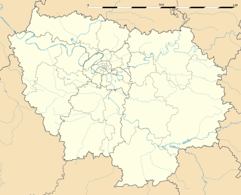 Orgeval | ||
| Coordinates: 48°55′16″N 1°58′35″E / 48.9211°N 1.9764°ECoordinates: 48°55′16″N 1°58′35″E / 48.9211°N 1.9764°E | ||
| Country | France | |
| Region | Île-de-France | |
| Department | Yvelines | |
| Arrondissement | Saint-Germain-en-Laye | |
| Canton | Poissy-Sud | |
| Government | ||
| • Mayor (2001–2008) | Yannick Tasset | |
| Area1 | 15.33 km2 (5.92 sq mi) | |
| Population (2006)2 | 5,559 | |
| • Density | 360/km2 (940/sq mi) | |
| Time zone | CET (UTC+1) | |
| • Summer (DST) | CEST (UTC+2) | |
| INSEE/Postal code | 78466 / 78630 | |
| Elevation |
57–182 m (187–597 ft) (avg. 100 m or 330 ft) | |
|
1 French Land Register data, which excludes lakes, ponds, glaciers > 1 km² (0.386 sq mi or 247 acres) and river estuaries. 2 Population without double counting: residents of multiple communes (e.g., students and military personnel) only counted once. | ||


Orgeval is a commune in the Yvelines department in the Île-de-France region in north-central France named after the river that runs through it, a tributary of the Grand Morin river.
See also
References
| Wikimedia Commons has media related to Orgeval (Yvelines). |
This article is issued from Wikipedia - version of the 7/2/2016. The text is available under the Creative Commons Attribution/Share Alike but additional terms may apply for the media files.