Onhaye
| Onhaye | |
|---|---|
| Municipality | |
|
Onhaye town hall | |
 Onhaye Location in Belgium | |
|
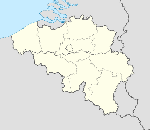
Location of Onhaye in Namur province  | |
| Coordinates: 50°15′N 04°50′E / 50.250°N 4.833°ECoordinates: 50°15′N 04°50′E / 50.250°N 4.833°E | |
| Country | Belgium |
| Community | French Community |
| Region | Wallonia |
| Province | Namur |
| Arrondissement | Dinant |
| Government | |
| • Mayor | Christophe Bastin |
| Area | |
| • Total | 65.53 km2 (25.30 sq mi) |
| Population (1 January 2016)[1] | |
| • Total | 3,164 |
| • Density | 48/km2 (130/sq mi) |
| Postal codes | 5520-5524 |
| Area codes | 082 |
| Website | www.onhaye.be |
.JPG)
Onhaye is a Walloon municipality located in the Belgian province of Namur. On January 1, 2006, Onhaye had a total population of 3,120. The total area is 65.53 km² which gives a population density of 48 inhabitants per km².
The municipality consists of the following sub-municipalities: Onhaye proper, Anthée, Falaën, Gerin, Serville, Sommière, and Weillen.
The region is home to several cultural heritage monuments, such as Château de Fontaine and the fortified farmhouse Falaën Castle.
.JPG)
Château de Fontaine, west of Onhaye
See also
References
- ↑ Population per municipality as of 1 January 2016 (XLS; 397 KB)
External links
-
 Media related to Onhaye at Wikimedia Commons
 |
Mettet | Anhée | | |
| Florennes | |
Dinant | ||
| ||||
| | ||||
| Hastière |
Municipalities in the Province of Namur | ||
|---|---|---|
| Dinant |  | |
| Namur | ||
| Philippeville | ||
This article is issued from Wikipedia - version of the 12/1/2016. The text is available under the Creative Commons Attribution/Share Alike but additional terms may apply for the media files.