Old Stone Arch Bridge (Clark Center, Illinois)
|
Old Stone Arch Bridge | |
|
Site of the bridge | |
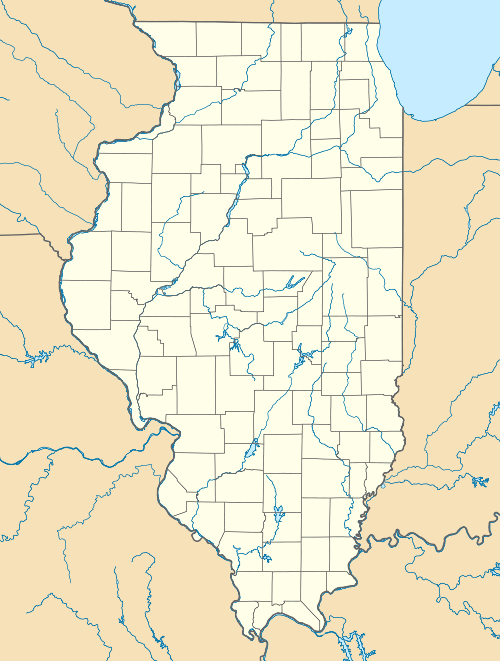  | |
| Nearest city | Clark Center, Illinois |
|---|---|
| Coordinates | 39°22′13″N 87°45′29″W / 39.370239°N 87.758085°WCoordinates: 39°22′13″N 87°45′29″W / 39.370239°N 87.758085°W |
| Area | less than one acre |
| Built by | Army Corps of Engineers |
| NRHP Reference # | 78001117[1] |
| Added to NRHP | November 28, 1978 |

The Old Stone Arch Bridge was a stone arch bridge located along the former route of the National Road in Clark Center, Illinois. The limestone bridge was 8.9 feet (2.7 m) high and 81.5 feet (24.8 m) long with a 17.8-foot (5.4 m) span. The U.S. Army Corps of Engineers built the bridge between 1828 and 1837, the period in which the Corps improved much of the National Road. The National Road was the first major highway built by the U.S. government and brought settlers and goods from the Eastern United States to Illinois. The bridge became part the Illinois state highway system in 1918, and later became part of U.S. Route 40; it served road traffic until 1933, when US 40 was realigned through the area.[2]
The bridge was added to the National Register of Historic Places on November 28, 1978.[1]
See also
-
 Bridges portal
 -
 Illinois portal
 -
 National Register of Historic Places portal
 - List of bridges on the National Register of Historic Places in Illinois
- National Register of Historic Places listings in Clark County, Illinois
References
- 1 2 National Park Service (2010-07-09). "National Register Information System". National Register of Historic Places. National Park Service.
- ↑ Kronst, Robert E. (December 22, 1977). "National Register of Historic Places Inventory - Nomination Form: Old Stone Arch Bridge" (PDF). National Park Service. Retrieved March 4, 2014.
| Topics | |
|---|---|
| Lists by states |
|
| Lists by insular areas | |
| Lists by associated states | |
| Other areas | |
| |