Ocaña, Norte de Santander
For other uses, see Ocaña (disambiguation).
| Ocaña, Norte de Santander | |||
|---|---|---|---|
 | |||
| |||
 Location of the municipality and town of Ocaña, Norte de Santander in the Norte de Santander Department of Colombia. | |||
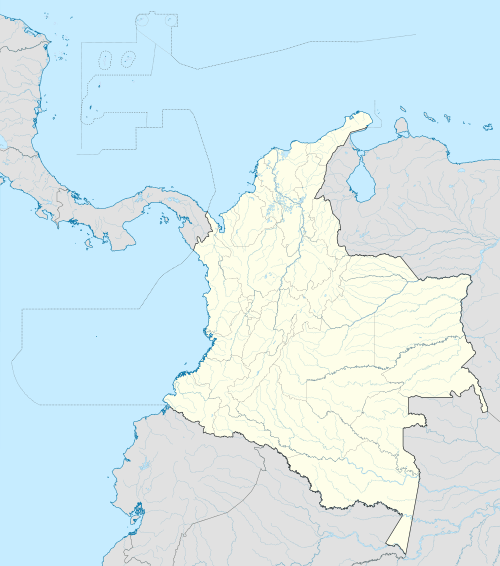 Location in Colombia | |||
| Coordinates: 8°14′N 73°21′W / 8.233°N 73.350°W | |||
| Country |
| ||
| Department | Norte de Santander Department | ||
| Founded | 1570 | ||
| Incorporated | 1857 | ||
| Government | |||
| • Mayor | Miriam Prado Carrascal | ||
| Area | |||
| • Total | 672.27 km2 (259.56 sq mi) | ||
| Elevation | 1,202 m (3,944 ft) | ||
| Population (2015) | |||
| • Total | 98,229 | ||
| • Density | 150/km2 (380/sq mi) | ||
| Demonym(s) | Ocañero | ||
| Time zone | Colombia Standard Time (UTC-5) | ||
| Area code(s) | 57 + 7 | ||
| Website | Official website (Spanish) | ||

.svg.png)
Ocaña is a town and municipality in the Colombian Department of Norte de Santander. Ocaña is the second largest populated center of this department. It played an important role during the Independence of Colombia from the Spanish monarchy.
History
The city was founded by Francisco Fernández de Contreras. In 1576 the city was moved to its present location. On April 9, 1828 the National Convention met to discuss the politic and administrative organization of the Republic.
Geography and climate
- Location: 8°14′N 73°21′W / 8.233°N 73.350°W. The city of Ocaña is 610 km from Bogotá.
- Surface: 460 km2, 2.2% of the North Santander Department total area
- Height: 1,202 meters on the level of the sea Ocaña are on the Andean Eastern mountain range. The 2,600 mountains surround that reach msnm. Its average temperature is 22 °C.
Economy
The main economic activities are agriculture, the livestock raising, commerce, small industries and mining, with silver operation, copper and iron. The city is served by the Aguas Claras airport.
See also
- Cúcuta, the state capital.
- Pamplona, the third municipality of the state.
- Roman Catholic Diocese of Ocaña
- St. Anne's Cathedral, Ocaña
References
- (Spanish) Ocaña official website
- (Spanish) Ocaña Information
- (Spanish) News
Coordinates: 8°14′N 73°21′W / 8.233°N 73.350°W
This article is issued from Wikipedia - version of the 8/4/2016. The text is available under the Creative Commons Attribution/Share Alike but additional terms may apply for the media files.