Nuxis
| Nuxis | |
|---|---|
| Comune | |
| Comune di Nuxis | |
|
Panorama from Narcao | |
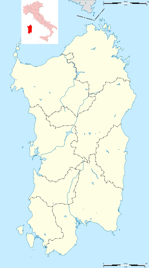 Nuxis Location of Nuxis in Sardinia | |
| Coordinates: 39°9′N 8°44′E / 39.150°N 8.733°ECoordinates: 39°9′N 8°44′E / 39.150°N 8.733°E | |
| Country | Italy |
| Region | Sardinia |
| Province / Metropolitan city | South Sardinia |
| Area | |
| • Total | 61.5 km2 (23.7 sq mi) |
| Population (Dec. 2004) | |
| • Total | 1,719 |
| • Density | 28/km2 (72/sq mi) |
| Time zone | CET (UTC+1) |
| • Summer (DST) | CEST (UTC+2) |
| Postal code | 09010 |
| Dialing code | 0781 |

Nuxis is a comune (municipality) in the Province of South Sardinia in the Italian region Sardinia, located about 35 kilometres (22 mi) west of Cagliari and about 20 kilometres (12 mi) east of Carbonia. As of 31 December 2004, it had a population of 1,719 and an area of 61.5 square kilometres (23.7 sq mi).[1]
Nuxis borders the following municipalities: Assemini, Narcao, Santadi, Siliqua, Villaperuccio.
Demographic evolution

The village was founded around the year 1000 AD, though there is archaeological evidence of a nuragic settlement, and grew out of a farm settlement. Nuxis' pastoral settlement was aided by the presence of Benedectine monks in nearby Narcao and Flumentepido.[2] The small church, of area less than 100 square metres (1,100 sq ft), of Sant'Elia di Tattinu, located approximately 250 metres (820 ft) south of the village is a well-preserved monument of byzantine architecture in Sardinia.
References
| Wikimedia Commons has media related to Nuxis. |
- ↑ All demographics and other statistics: Italian statistical institute Istat.
- ↑ S. Colomo, "Practical Guide to Sardinia", AFS 1993.