Norheim, Rogaland
| Norheim | |
|---|---|
| Village | |
|
View of the village (left side) with the Karmsund Bridge | |
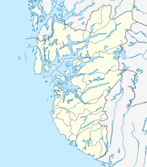 Norheim  Norheim Location in Rogaland county | |
| Coordinates: 59°22′40″N 05°18′45″E / 59.37778°N 5.31250°ECoordinates: 59°22′40″N 05°18′45″E / 59.37778°N 5.31250°E | |
| Country | Norway |
| Region | Western Norway |
| County | Rogaland |
| District | Haugaland |
| Municipality | Karmøy |
| Elevation[1] | 33 m (108 ft) |
| Time zone | CET (UTC+01:00) |
| • Summer (DST) | CEST (UTC+02:00) |
| Post Code | 8680 Trofors |

Norheim is a village in Karmøy municipality in Rogaland county, Norway. The village is located along the Karmsundet strait immediately south of the city of Haugesund, just over the municipal border inside Karmøy. The village lies along the European route E134 highway and on the eastern end of the Karmsund Bridge which connects Norheim (on the mainland) to the island of Karmøy.
The village of Norheim is the site of the Oasen mall, the largest shopping centre in Karmøy. Norheim Church is also located in the village. The Norheimskogen forest lies south of Norheim with the village of Vormedal on the other side of the forest to the south.
References
- ↑ "Norheim, Karmøy (Rogaland)" (in Norwegian). yr.no. Retrieved 2015-11-11.
This article is issued from Wikipedia - version of the 8/4/2016. The text is available under the Creative Commons Attribution/Share Alike but additional terms may apply for the media files.