Norddal (village)
| Norddal Dalsbygda | |
|---|---|
| Village | |
|
View of the village in foreground. Across the fjord is Linge (left) and Valldal (center). | |
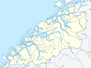 Norddal 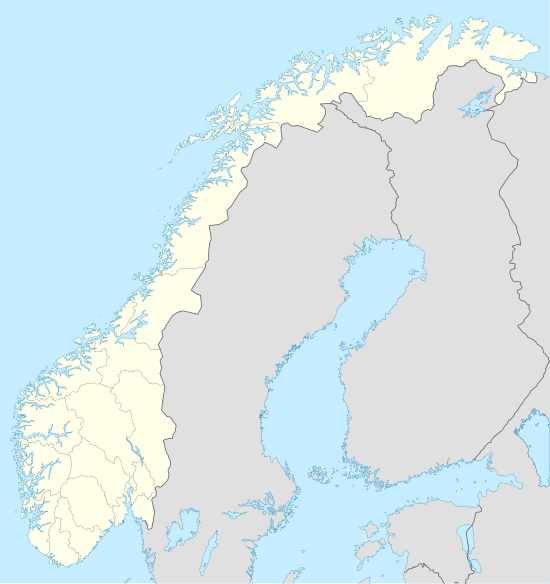 Norddal Location in Møre og Romsdal | |
| Coordinates: 62°17′56″N 07°15′41″E / 62.29889°N 7.26139°ECoordinates: 62°17′56″N 07°15′41″E / 62.29889°N 7.26139°E | |
| Country | Norway |
| Region | Western Norway |
| County | Møre og Romsdal |
| District | Sunnmøre |
| Municipality | Norddal Municipality |
| Elevation[1] | 7 m (23 ft) |
| Time zone | CET (UTC+01:00) |
| • Summer (DST) | CEST (UTC+02:00) |
| Post Code | 6214 Norddal |
_kyrkje_i_kontekst.jpg)
Norddal or Dalsbygda is a village in Norddal Municipality in Møre og Romsdal county, Norway. The village is located in a valley with steep mountains on each side, on the southern shore of the Norddalsfjorden. Norddal is about 4 kilometres (2.5 mi) east of the village of Eidsdal and about 5 kilometres (3.1 mi) across the fjord to the south of the municipal centre of Valldal.
Norddal is home to Norddal Church and some 150 permanent residents. The only access to the village by road is through nearby Eidsdal. The famous Geiranger area is connected to Norddal by hiking trails over the mountain pass to the south of the village.
References
This article is issued from Wikipedia - version of the 8/1/2016. The text is available under the Creative Commons Attribution/Share Alike but additional terms may apply for the media files.