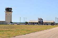
New Braunfels Regional Airport
| New Braunfels Regional Airport | |||||||||||||||
|---|---|---|---|---|---|---|---|---|---|---|---|---|---|---|---|
 | |||||||||||||||
| IATA: none – ICAO: KBAZ – FAA LID: BAZ | |||||||||||||||
| Summary | |||||||||||||||
| Airport type | Public | ||||||||||||||
| Owner | City of New Braunfels | ||||||||||||||
| Serves | New Braunfels, Texas | ||||||||||||||
| Elevation AMSL | 651 ft / 198 m | ||||||||||||||
| Coordinates | 29°42′11″N 098°02′28″W / 29.70306°N 98.04111°WCoordinates: 29°42′11″N 098°02′28″W / 29.70306°N 98.04111°W | ||||||||||||||
| Website | www.FlyKBAZ.com | ||||||||||||||
| Map | |||||||||||||||
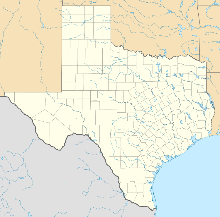 BAZ Location of airport in Texas | |||||||||||||||
| Runways | |||||||||||||||
| |||||||||||||||
| Statistics (2011) | |||||||||||||||
| |||||||||||||||
New Braunfels Regional Airport (ICAO: KBAZ, FAA LID: BAZ) is a public use airport in Guadalupe County, Texas, United States.[1][2] It is owned by the city of New Braunfels and located four nautical miles (5 mi, 7 km) east of its central business district.[1] Formerly known as New Braunfels Municipal Airport,[3] it is included in the National Plan of Integrated Airport Systems for 2011–2015, which categorized it as a general aviation facility.[4]
Although most U.S. airports use the same three-letter location identifier for the FAA and IATA, this airport is assigned BAZ by the FAA but has no designation from the IATA[5] (which assigned BAZ to Barcelos Airport in Barcelos, Amazonas, Brazil).[6]
From 1940 to 1967, it operated as Clear Springs Air Force Base.
Facilities and aircraft
New Braunfels Regional Airport covers an area of 900 acres (364 ha) at an elevation of 651 feet (198 m) above mean sea level. It has two runways with asphalt surfaces: 13/31 is 6,503 by 100 feet (1,982 x 30 m) and 17/35 is 5,364 by 100 feet (1,635 x 30 m).[7]
For the 12-month period ending March 25, 2011, the airport had 44,891 aircraft operations, an average of 122 per day: 96% general aviation and 4% air taxi. At that time there were 111 aircraft based at this airport: 83% single-engine, 10% multi-engine, 4% jet, and 3% helicopter.[1]
References
- 1 2 3 4 FAA Airport Master Record for BAZ (Form 5010 PDF). Federal Aviation Administration. Effective November 15, 2012.
- ↑ "Map showing New Braunfels airport located within Guadalupe County". MapQuest. Retrieved June 1, 2013.
- ↑ "KBAZ – New Braunfels Municipal Airport". FAA data republished by AirNav. Effective May 31, 2012. Archived from the original on June 30, 2012. Check date values in:
|date=(help) - ↑ "2011–2015 NPIAS Report, Appendix A" (PDF, 2.03 MB). National Plan of Integrated Airport Systems. Federal Aviation Administration. October 4, 2010. External link in
|work=(help) - ↑ "New Braunfels Regional Airport (ICAO: KBAZ, FAA: BAZ)". Great Circle Mapper. Retrieved June 1, 2013.
- ↑ "Barcelos, Amazonas, Brazil (IATA: BAZ, ICAO: SWBC)". Great Circle Mapper. Retrieved June 1, 2013.
- ↑ "Airport/Facility Directory" (PDF). Federal Aviation Administration. April 30, 2015. Retrieved May 1, 2015.
External links
- New Braunfels Regional Airport, official website
- Airport page at City of New Braunfels website
- Aerial image as of January 1995 from USGS The National Map
- FAA Airport Diagram (PDF), effective December 8, 2016
- FAA Terminal Procedures for BAZ, effective December 8, 2016
- Resources for this airport:
- FAA airport information for BAZ
- AirNav airport information for KBAZ
- FlightAware airport information and live flight tracker
- NOAA/NWS latest weather observations
- SkyVector aeronautical chart, Terminal Procedures