New Bradwell
| New Bradwell | |
 Grand Union Canal as it passes between Stonebridge (in the distance) and New Bradwell |
|
 New Bradwell |
|
| Population | 3,109 (2011 Census)[1] |
|---|---|
| OS grid reference | SP830414 |
| Civil parish | New Bradwell |
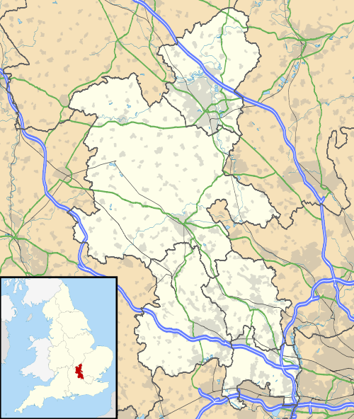
| Unitary authority | Milton Keynes |
| Ceremonial county | Buckinghamshire |
| Region | South East |
| Country | England |
| Sovereign state | United Kingdom |
| Post town | MILTON KEYNES |
| Postcode district | MK13 |
| Dialling code | 01908 |
| Police | Thames Valley |
| Fire | Buckinghamshire |
| Ambulance | South Central |
| EU Parliament | South East England |
| UK Parliament | Milton Keynes North |
|
|
Coordinates: 52°04′02″N 0°47′01″W / 52.06731°N 0.78349°W
New Bradwell is (mainly) an Edwardian era village, modern district and civil parish that is now part of Milton Keynes (ceremonial county of Buckinghamshire), on its northern edge.[2] Together with Wolverton (on the other side of the West Coast Main Line), it was built primarily to house the workers on the Wolverton railway works.
The original village of Bradwell lies south of New Bradwell.
History
New Bradwell is roughly 150 years old. Exact dates are hard to figure, as buildings such as mill houses and farm houses existed on the site of what is now the village of New Bradwell, long before then. Around 1851 the area was little more than a hamlet, with 381 inhabitants and a local industry of stone quarrying and lime kilns. The first purpose built houses were constructed in 1854 – 1856[3] as dwellings for workers in the nearby Wolverton works, by 1861 the village had 1,658 inhabitants and over 4,000 by 1906.
Perhaps the most significant date was the expansion of the parish of Stantonbury on 16 July 1857. The old parish of Stanton Barry, or Stantonbury, contained but 750 acres (3.0 km2), and about a dozen scattered houses. By an Order in Council, dated 16 July 1857, a new parish was formed by adding to the old one the hamlet of New Bradwell. The area of the newly formed parish was 904 acres (3.66 km2). There was a ceremony of laying the foundations for the Church of St. James and other buildings such as the church schoolhouse on Monday 24 May 1858, which may mark the very foundations of the village of New Bradwell as an entity in its own right. The church of St. James was completed in 1860.
Originally this new village was called Stantonbury after the name of the parish.[4] Buses within living memory still had the name Stantonbury on them when they terminated in the village. The change of name seems fairly recent. From records of house deeds, the change appears to have happened in 1921. A record of deed for a house in 1920 records a property in King Edwards Street being in Stantonbury, while the following year another property in the same street is listed as being in New Bradwell. Considering how accurate such legal documents have to be, this is pretty conclusive proof that the change of name was made official at this time, but definitive research would need to be conducted to establish this as fact.
From 1867 to 1964 the village was served by Bradwell railway station on the now defunct Wolverton to Newport Pagnell line.
The Grand Union Canal passes between Bradwell and New Bradwell, providing boating and fishing facilities. The modern Bradwell Aqueduct was the first of its kind to be constructed over the Grand Union in over 100 years
Bradwell Blitz
When the Second World War broke out in September 1939, blackout precautions were immediately put into effect, due to the dangers of night time bombing raids. Ironically, New Bradwell's new electric street lights, which had only been completed two weeks previously, were switched off and not used again for six years. Bradwell's Blitz consisted of two bombs on Sunday 20 October 1940. First, two flares were dropped at the end of Bridge Street, landing on the allotments, now the school playing fields. An unconfirmed theory surmises that the bombs may have been aimed at the Wolverton railway works, then engaged in war work. Then the two bombs were dropped on the western end of the high street, the first landing on the road outside "the Laurels", creating a 30 feet (9.1 m) crater, the second at the end of the high street, demolishing numbers 71, 73 & 75 and killing five people. The "Bradwell Blitz" was one of the more dramatic events in this part of North Buckinghamshire. (The activities at Bletchley Park a few miles south were top secret. Nevertheless, Old Bletchley was hit by four bombs – one of which hit the Park's main gate without exploding). The Bradwell Blitz was so-called because it happened during the Blitz the fourth and last phase of the Battle of Britain.
Civil parish
The civil parish of New Bradwell was created in 1919 from part of the Bradwell parish, and formed part of the Wolverton Urban District urban district (with the rest of the Bradwell parish remaining in Newport Pagnell Rural District). The parish was merged into Wolverton parish in 1934. It was re-established in 2001 as part of a general parishing of all the unparished areas of Milton Keynes.
The parish is bounded to the north by the Great Ouse, to the west by V6 Grafton Street, to the south by the route of the former Wolverton/Newport Pagnell railway line (now a redway) and to the east by a short stretch of the Grand Union Canal.
At the 2001 census, the population of the parish was 2,990[5]
Sport and leisure
New Bradwell has a Non-League football team New Bradwell St Peter F.C. who play at The Recreation Ground.
It also has two cricket teams
School
New Bradwell School is situated on Bounty Street and is just to the side of Grafton Street and Spencer Street, an off-road street with some historic houses named 'Railway Cottages'. The current headmaster is Philip Webster, the successor to John White.
See also
References
- ↑ Neighbourhood Statistics 2011 Census, Accessed 4 February 2013
- ↑ Parishes in Milton Keynes – Milton Keynes Council.
- ↑ The New Railway Colony at Wolverton (June 19, 1856). Facsimile of unspecified newspaper article
- ↑ article concerning expansion of the parish of Stantonbury on Clutch Club local history site
- ↑ http://www.mkweb.co.uk/statistics/documents/Population%5FBulletin%5F2005%2D6%2Epdf page 22
Further reading
External links
![]() Media related to New Bradwell at Wikimedia Commons
Media related to New Bradwell at Wikimedia Commons