Nazareth, Belgium
| Nazareth | |||
|---|---|---|---|
| Municipality | |||
 | |||
| |||
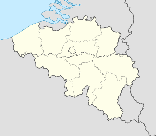 Nazareth Location in Belgium | |||
|
Location of Nazareth in East Flanders  | |||
| Coordinates: 50°58′N 03°36′E / 50.967°N 3.600°ECoordinates: 50°58′N 03°36′E / 50.967°N 3.600°E | |||
| Country | Belgium | ||
| Community | Flemish Community | ||
| Region | Flemish Region | ||
| Province | East Flanders | ||
| Arrondissement | Ghent | ||
| Government | |||
| • Mayor | Danny Claeys | ||
| • Governing party/ies | CD&V | ||
| Area | |||
| • Total | 35.19 km2 (13.59 sq mi) | ||
| Population (1 January 2016)[1] | |||
| • Total | 11,570 | ||
| • Density | 330/km2 (850/sq mi) | ||
| Postal codes | 9810 | ||
| Area codes | 09 | ||
| Website | www.nazareth.be | ||
_vlag.svg.png)

Nazareth (Dutch pronunciation: [ˈnaːzɑrɛt]) is a municipality located in the Belgian province of East Flanders. The municipality comprises the towns of Eke and Nazareth proper. On January 1, 2011, Nazareth had a total population of 11,252. The total area is 35.19 km² which gives a population density of 320 inhabitants per km².
Etymology
There are various hypotheses for the origin of the name "Nazareth", dated to a text of songs from 1259 CE. It is possible that Nazareth was named after the biblical city of Nazareth. It is also possible, but less likely, that Nazareth was originally a slip of the word magherhet (thinness).
History
The community was first recorded in 1259.
Heraldry
The arms of Nazareth is a composition of two family crests:
- The first part is the arms of the family Rockolfing: three gold roses geknopt throat in the field, vert scrolled head and a shield charged with a throat depth and looking round lion of gold, tongued gules.
- The second part is the escutcheon of the family Kervyn Volkaersbeke: saber in a twill together right in the head by an acorn, stemmed and browsed in two pieces, left in the mind of a six-pointed star, everything from gold and the one point eagle leg of silver.
Sights
- 19th-century church (1861 – 1870)
References
- ↑ Population per municipality as of 1 January 2016 (XLS; 397 KB)
External links
 Media related to Nazareth, Belgium at Wikimedia Commons
- Official website (Dutch)
 |
Deinze | Sint-Martens-Latem | De Pinte | |
| |
||||
| ||||
| | ||||
| Kruishoutem | Zingem | Gavere |

This article is issued from Wikipedia - version of the 12/1/2016. The text is available under the Creative Commons Attribution/Share Alike but additional terms may apply for the media files.