National Register of Historic Places listings in Klamath County, Oregon

Location of Klamath County in Oregon
This list presents the full set of buildings, structures, objects, sites, or districts designated on the National Register of Historic Places in Klamath County, Oregon, and offers brief descriptive information about each of them. The National Register recognizes places of national, state, or local historic significance across the United States.[1] Out of over 90,000 National Register sites nationwide,[2] Oregon is home to over 2,000,[3] and 29 of those are found partially or wholly in Klamath County.
- This National Park Service list is complete through NPS recent listings posted December 2, 2016.[4]
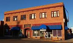
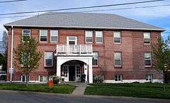
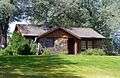
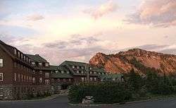
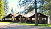
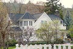
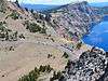
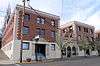
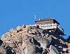
Current listings
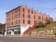


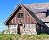
_(klaD0182).jpg)
_(klaDA0019).jpg)
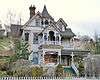

_(klaDA0109a).jpg)


_(klaDA0034b).jpg)
_(klaD0167).jpg)

Former listings
| [5] | Name on the Register | Image | Date listed | Date removed | Location | City or town | Summary |
|---|---|---|---|---|---|---|---|
| 1 | Winthrow-Melhase Block | Upload image | (#82003730) | 4th and Main Sts. |
Klamath Falls |
See also
- National Register of Historic Places listings in Oregon
- Listings in neighboring counties: Deschutes, Douglas, Jackson, Lake, Lane, Modoc, Siskiyou
- List of National Historic Landmarks in Oregon
- Historic preservation
- History of Oregon
- Lists of Oregon-related topics
References
- ↑ Andrus, Patrick W.; Shrimpton, Rebecca H.; et al. (2002), How to Apply the National Register Criteria for Evaluation, National Register Bulletin (15), National Park Service, U.S. Department of the Interior, OCLC 39493977, archived from the original on April 6, 2014, retrieved June 20, 2014.
- ↑ National Park Service, National Register of Historic Places Program: Research, archived from the original on February 1, 2015, retrieved January 28, 2015.
- ↑ Oregon Parks and Recreation Department, Oregon Historic Sites Database, retrieved August 6, 2015. Note that a simple count of National Register records in this database returns a slightly higher total than actual listings, due to duplicate records. A close reading of detailed query results is necessary to arrive at the precise count.
- ↑ "National Register of Historic Places: Weekly List Actions". National Park Service, United States Department of the Interior. Retrieved on December 2, 2016.
- 1 2 Numbers represent an ordering by significant words. Various colorings, defined here, differentiate National Historic Landmarks and historic districts from other NRHP buildings, structures, sites or objects.
- ↑ The eight-digit number below each date is the number assigned to each location in the National Register Information System database, which can be viewed by clicking the number.
- ↑ National Park Service. "National Historic Landmark Program: NHL Database". Retrieved February 19, 2012.
- ↑ Creasey, Andrew (March 14, 2013), "The fall of the house of Goeller", Herald and News, Klamath Falls, archived from the original on March 4, 2016, retrieved January 28, 2014. Note that this source incorrectly states that the house's National Register listing expired in 2013, when in fact only the Oregon historic preservation special assessment property tax benefit expired.
- ↑ Huston, Ann E. (May 1990), National Register of Historic Places Registration Form: Klamath Lake Reservation (PDF), retrieved March 3, 2016.
- ↑ Weekly Register List 1995, page 4
External links
- Oregon Parks and Recreation Department, National Register Program
- National Park Service, National Register of Historic Places site
 Media related to National Register of Historic Places in Klamath County, Oregon at Wikimedia Commons
| Lists by county |  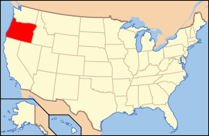 | |
|---|---|---|
| Portland lists | ||
| Other lists |
| |
| Topics | |
|---|---|
| Lists by states |
|
| Lists by insular areas | |
| Lists by associated states | |
| Other areas | |
| |
Municipalities and communities of Klamath County, Oregon, United States | ||
|---|---|---|
| Cities | | |
| CDP | ||
| Unincorporated communities | ||
This article is issued from Wikipedia - version of the 9/9/2016. The text is available under the Creative Commons Attribution/Share Alike but additional terms may apply for the media files.