Mupandawana
| Mupandawana Mpandawana | |
|---|---|
 Mupandawana Location of Mupandawana | |
| Coordinates: ZW 19°38′12″S 031°10′06″E / 19.63667°S 31.16833°ECoordinates: ZW 19°38′12″S 031°10′06″E / 19.63667°S 31.16833°E | |
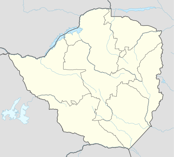
| Country | Zimbabwe |
| Region | Midlands |
| Province | Masvingo |
| District | Gutu |
| Elevation | 1,398 m (4,587 ft) |
| Population | |
| • Total | 30,000 |
Mupandawana[1] is a town and the largest service centre in Gutu, Zimbabwe. In the early years of independent Zimbabwe's economic planning, Mupandawana was designated as a "growth point".[2] By 2012 the settlement had a population of over 30,000, and was recently granted town status.[3]
Infrastructure
The centre has a post office,[4] shops[2] banking services, schools and a hospital.[5] But there is no resident medical doctor.[5] There are paved streets,[2] including the main east-west road through the settlement.[6] Mupandawana has electricity.[5] Water for the town is supplied from Mushaviri dam. Mupandawana has several residential suburbs, namely: Old Location, Scomption, Hwiru (United Nations), Western suburbs and the newest development, Chomfuli low density suburb.
Education
Gutu United Primary School
Hwiru Primary School
Mpandawana High School
Gutu Vocational Training Centre
Administration Offices and Businesses
Mupandawana Town Council
Magistrates Court
Ministry of Education offices
Agritex
Blue Ribbon Bakery
ZESA
N. Richards and Company
Tel One
Gutu Post Office
Mpandawana Post Office
Spar Supermarket
Notes
- ↑ Mupandawana Business Centre (Approved) at GEOnet Names Server, United States National Geospatial-Intelligence Agency
- 1 2 3 Saunyama, Jairos (17 March 2014). "Mupandawana, Jerera growth points still vibrant". The Zimbabwe Mail. Harare, Zimbabwe. Archived from the original on 4 April 2014.
- ↑ "lates tmupandawana-granted-town-status". The Herald. Harare, Zimbabwe. 28 April 2014.
- ↑ "ZimPost: Find a Post Office: Midlands Offices". Zimbabwe Posts. Archived from the original on 4 April 2014.
- 1 2 3 "Gutu Central Constituency" (PDF). Parliament of Zimbabwe, Research Department. 2011. Archived (PDF) from the original on 12 April 2014.
- ↑ Satellite imagery. "Mupandawana". Bing maps.