Mount Jasper Lithic Source
|
Mt. Jasper Lithic Source | |
 | |
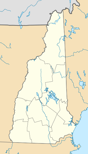  | |
| Location | 1 1⁄2 mi. NW of confluence of Dead R. and Androscoggin R., Berlin, New Hampshire |
|---|---|
| Coordinates | 44°29′8″N 71°11′40″W / 44.48556°N 71.19444°WCoordinates: 44°29′8″N 71°11′40″W / 44.48556°N 71.19444°W |
| Area | 38.5 acres (15.6 ha) |
| NRHP Reference # | 92000631[1] |
| Added to NRHP | May 29, 1992 |
Mt. Jasper Lithic Source is a historic site 1 1⁄2 miles northwest of the confluence of the Dead River and Androscoggin River in Berlin, New Hampshire. The site, owned by the city of Berlin, encompasses a triangular area from the summit of Mount Jasper to points on the Dead River. The site is historically and archaeologically important as a source of rhyolite, and was identified in the 19th century as a Native American source of the stone. Archaeological investigation of the area conducted in the 1980s has identified not only the locations where natives quarried the stone, but has also determined that workshops (where finished materials such as weapon points were fashioned) were located there. Evidence from this and other sites indicates that it was a source of stone for tools as much as 9,000 years ago, and it is unique in the eastern United States in that the natives working the quarry actually tunneled into the mountain.[2]
The site was added to the National Register of Historic Places in 1992.[1]
See also
References
- 1 2 National Park Service (2009-03-13). "National Register Information System". National Register of Historic Places. National Park Service.
- ↑ Boisvert, Richard. "The Mount Jasper Lithic Source, Berlin, New Hampshire: National Register of Historic Places Nomination and Commentary" (PDF). Archaeology of Eastern North America (Volume 20): 151–166. Retrieved 2014-03-27.
External links
- Mount Jasper Mine - Article about excavations and findings at the site
| Topics |  | |
|---|---|---|
| Lists by county | ||
| Other lists | ||
| ||