Mount Ingalls (California)
| Mount Ingalls | |
|---|---|
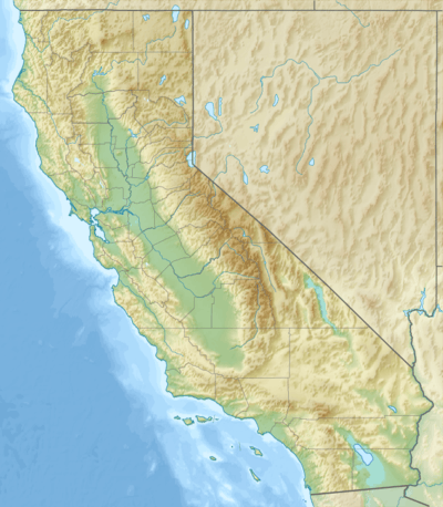 Mount Ingalls Location in California | |
| Highest point | |
| Elevation | 8,376 ft (2,553 m) NAVD 88[1] |
| Prominence | 2,792 ft (851 m) [2] |
| Listing | California county high points 25th |
| Coordinates | 39°59′39″N 120°37′39″W / 39.994040239°N 120.627414197°WCoordinates: 39°59′39″N 120°37′39″W / 39.994040239°N 120.627414197°W [1] |
| Geography | |
| Location | Plumas County, California, U.S. |
| Parent range | Northern Sierra Nevada |
| Topo map | USGS Mount Ingalls |
Mount Ingalls is a mountain located in the Northern Sierra Nevada in California. The peak rises to an elevation of 8,376 feet (2,553 m), and is the highest point in Plumas County and Plumas National Forest.[2] Most of the precipitation that falls on the mountain is snow due to the high elevation.[3]
See also
References
- 1 2 "Ingalls". NGS data sheet. U.S. National Geodetic Survey. Retrieved 2009-08-03.
- 1 2 "Mount Ingalls, California". Peakbagger.com. Retrieved 2009-02-05.
- ↑ "Subsection M261Eh - Upper Batholith and Volcanic Flows". U.S. Forest Service. Archived from the original on 2007-08-13. Retrieved 2014-01-19.
External links
- "Mount Ingalls". Geographic Names Information System. United States Geological Survey. Retrieved 2009-02-05.
This article is issued from Wikipedia - version of the 9/10/2016. The text is available under the Creative Commons Attribution/Share Alike but additional terms may apply for the media files.